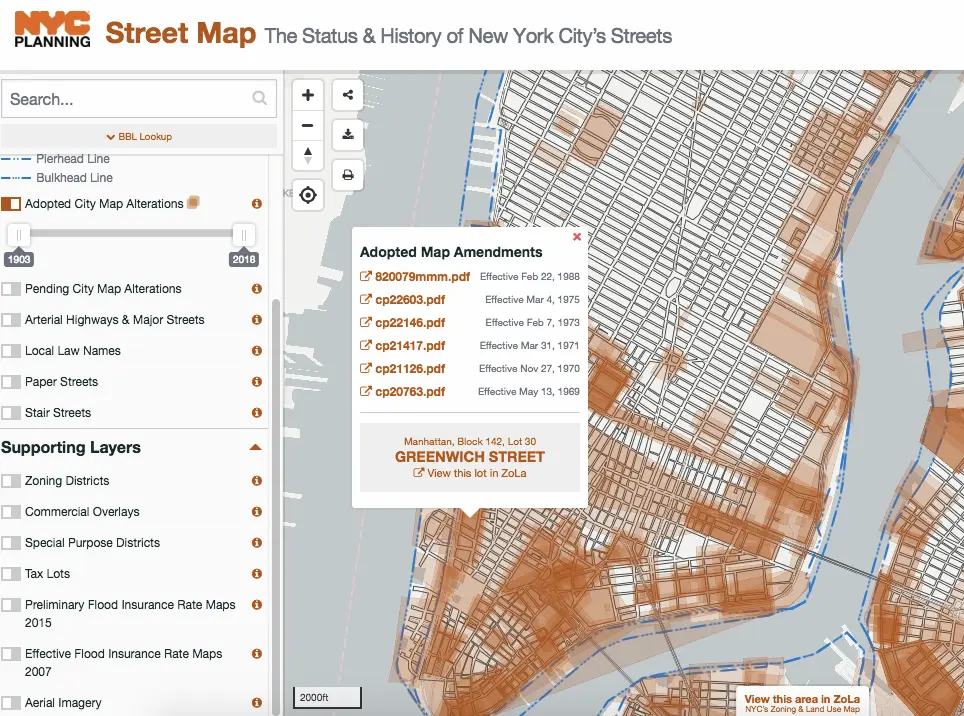
Interactive map displays changes in New York City’s street grid over the last 90 years

The Department of City Planning (DCP) launched on Monday a digital tool that compiles more than 8,000 historic maps of New York City, dating back to 1924. The tool, called NYC Street Map, allows users to find the official mapped width and status of specific streets and how that relates to specific properties. According to DCP, NYC Street Map lets New Yorkers explore historic street and building images, find protected bike lanes and locate streets and public areas named in honor of 9/11 victims.
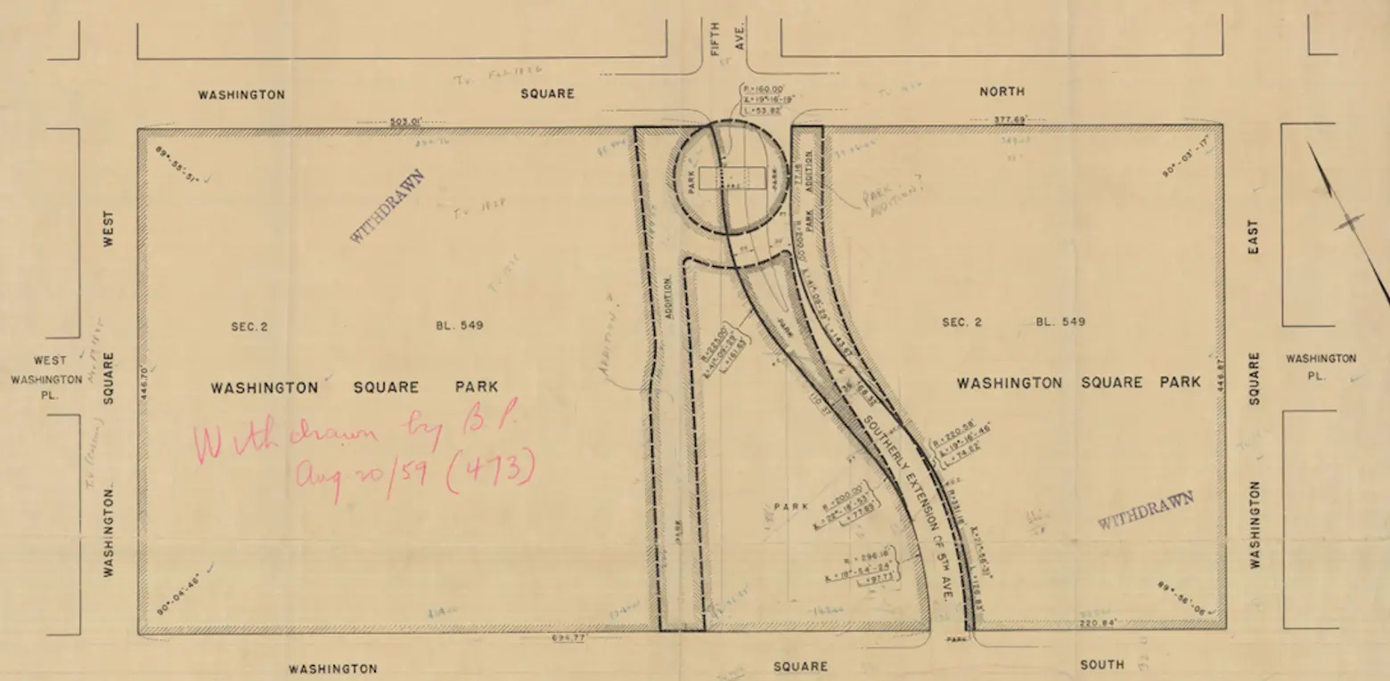
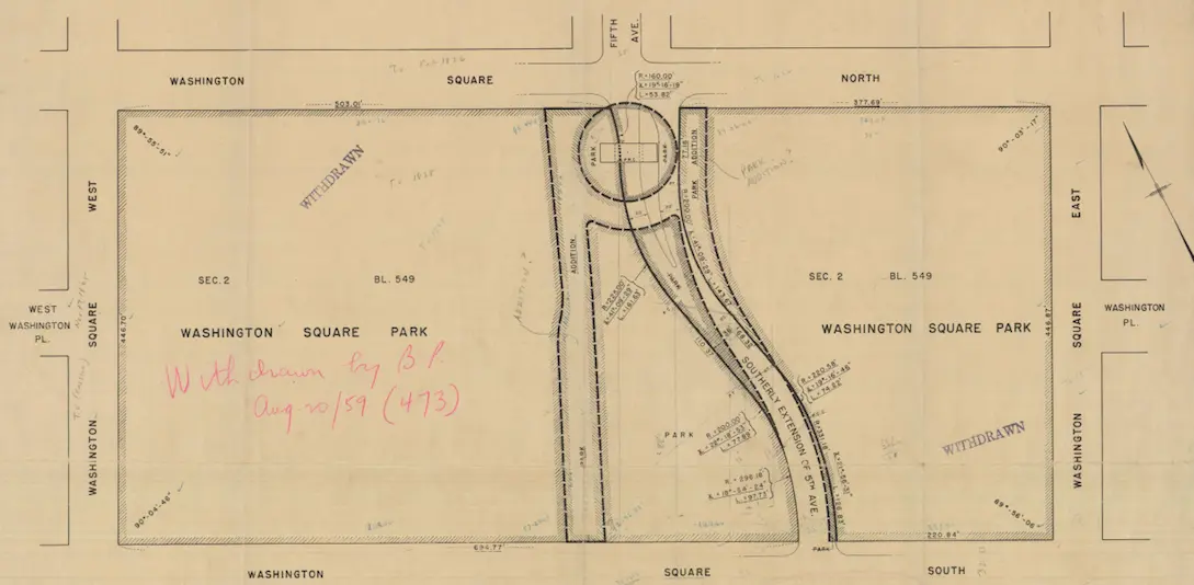
Map from 1959 shows Fifth Ave running through Washington Square Park
“This easy-to-use NYC Street Map means community advocates, students, historians–indeed everyone–can delve into New York City history, block by block, and street by street,” DCP Director Marisa Lago said. “It offers the public another tool to participate in building New York City’s future.”
The maps detail approved alterations made to the City Map since 1938. These could include closed or changed streets, or new streets altogether. And some streets displayed were mapped, but never built out, also known as “Paper Streets.”
Through the tool, users can find the city’s 56 public “step streets,” which is where staircases replace sidewalks and roadbed, streets that have been converted into another use (Until 1962, Fifth Avenue ran through Washington Square Park), and discover whether their home is in a federally-designated flood zone.
Explore the historic street maps here.
RELATED: