Find Out What Businesses Were on Your Block Way Back in 1855 With This Interactive Map

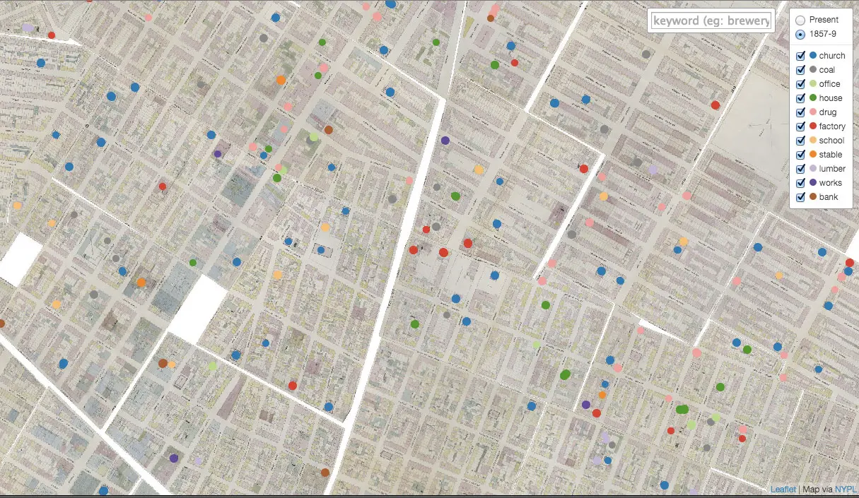
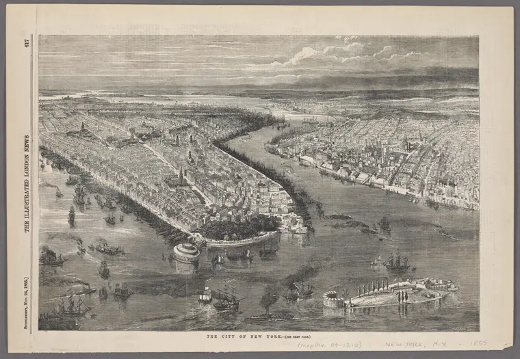
If you think your neighborhood has changed since you moved in, step back and have a look at this incredible map to get some real perspective. One of the many maps maintained within the NYPL’s Map Warper project, this particular cartogram dubbed the 1855 New York Business Map shows the location of more than 3,000 mid-19th century New York businesses—as well as some other fun stuff like stables, churches and schools. Want to know what life was like in your neighborhood way back in 1855? Jump ahead for more.
The map was developed by the NYPL’s Mauricio Giraldo and culls data from the library’s extensive collection of 1855 maps, which count thousands of historical places. All of the spots documented are included in the 1855 New York Business Map and can be filtered using either the search field or the map’s menu at the top right.
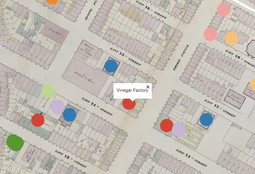
What’s most fascinating is to see how certain industries clustered back in old Manhattan (search “brewery” or “banks” as an example), as well as the types of factories that used to exist way back when. Like, did you know there was once a vinegar factory on 14th and 3rd? There were also lots of piano forte manufacturers around the East Village, and churches were about as common as Duane Reade.
Explore the interactive map in detail here >>
RELATED: