You can buy the earliest ‘portable’ NYC subway map for $12,000

The 1904 map via Martayan Lan Gallery
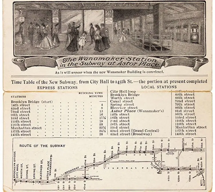
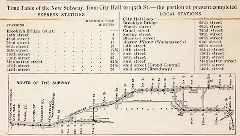
New Yorkers have used maps to navigate the city’s subway system since the first year the system opened 114 years ago. And one of only two known examples of the Interborough Rapid Transit’s first guide is for sale for $12,000, the New York Times reported. That 1904 transit guide, along with many more historic maps of New York, can be found at the Martayan Lan Gallery, which is kicking of its “New Amsterdam to Metropolis: Historic Maps of New York City 1548-1964” exhibit on Nov. 9.
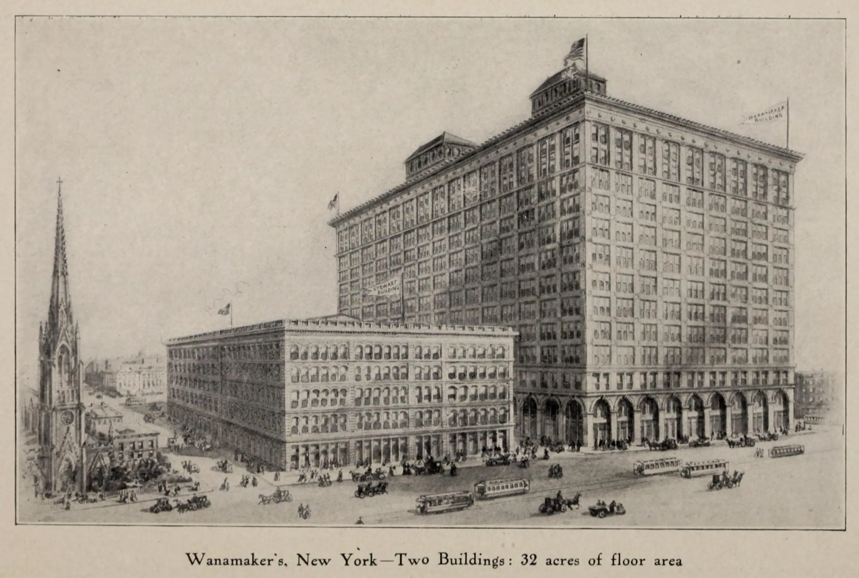
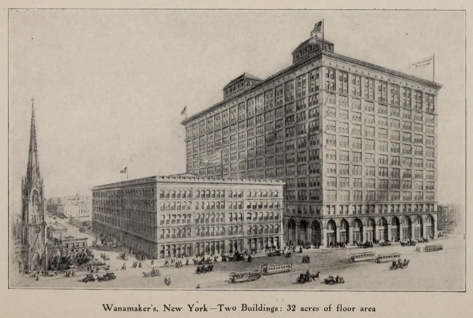 Wanamaker’s in 1905, via Wiki Commons
The 114-year-old subway map was mailed to customers of Wanamaker’s, an old department store located in the East Village in what is now the Astor Place K-Mart. The gallery is also selling a subway map from 1909, which includes the lines of elevated trains and bridges and tunnels, for $25,000.
Other historic NYC maps displayed include an 1822 map created by city surveyor John Rangel Jr., who plotted the Manhattan grid mandated by the 1811 Commissioners’ Plan, and an 1898 wall map which is thought to be the earliest to show five boroughs as Greater New York. The wall map is asking $12,00.
The exhibit at Martayan Lan Gallery kicks off next Friday, Nov. 9, and will run until May 31. As their site reads, visitors can enjoy the “maps, plans and views tracing the history of New York City, from the earliest European encounter with the region by Verrazano in 1524 to the skyscraper-bedecked city of the mid-twentieth century.”
[Via NY Times]
RELATED: