Reports find open space falls short of key goals in Bushwick, Long Island City, and part of Staten Island
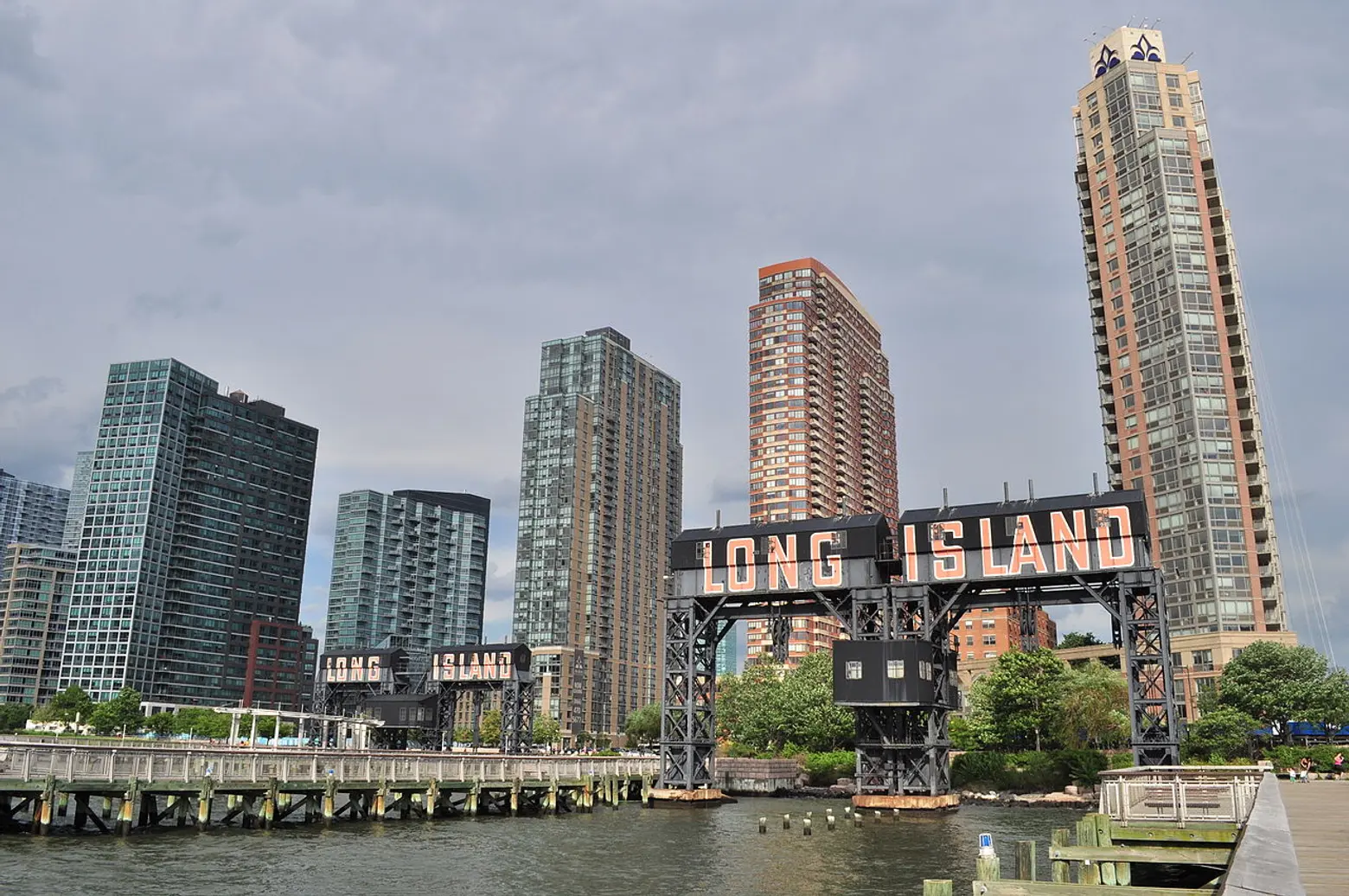
Photo via Joe Mabel / Wiki Commons
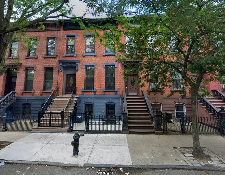
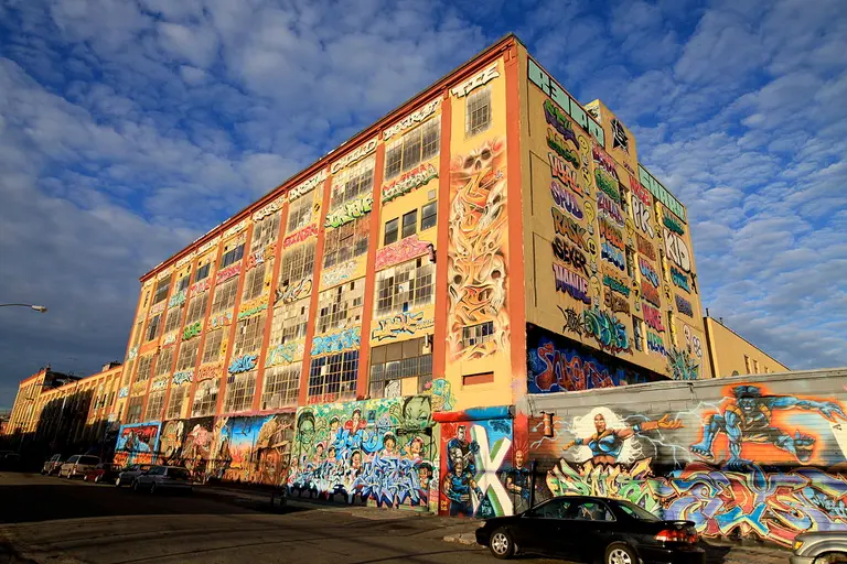
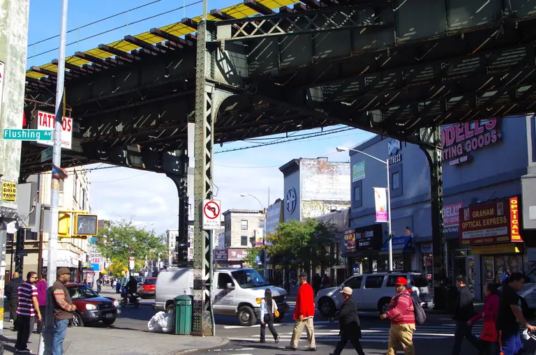
New Yorkers for Parks has released three new Open Space Index reports, a series of in-depth “neighborhood snapshots” of parks and open space in Staten Island’s Bay Street Corridor, Bushwick, and Long Island City. According to the reports, the Bay Street Corridor failed 11 of 14 open space goals, Bushwick failed 12 of 14, and Long Island City failed 11 of 14. The goals factor in characteristics including the total amount of open space, access, tree canopy, and overall maintenance. According to the City’s own standards, all of the neighborhoods lack sufficient open space and what does exist is often hard to get to or improperly maintained.
“Communities facing changes to zoning or increased density have responded with clear and comprehensive needs and wants for their communities, including their open spaces, and with this data their advocacy will be even stronger,” said Lynn Kelly, Executive Director of New Yorkers for Parks, in a statement. “These reports also present an opportunity for the City to expand its work on park equity in order to create more creative partnerships across agencies to build more open spaces and livable neighborhoods in every corner of every borough.”
The Bay Street Corridor—which encompasses St. George, Tompkinsville, and Stapleton on Staten Island—was approved for a rezoning in June 2019 by the City. Area residents fear the increased density and construction will negatively impact the open spaces that they are already disconnected from, according to the report.
“For too long, Staten Island has suffered from being disconnected—from resources, and from other parts of the city,” said Kamillah Hanks of the Historic Tappen Park Community Partnership. “Our neighborhoods need more parks, more services, and more connections. And the proof is right in this report.”
Key recommendations for the area include: improving pedestrian access to existing open spaces, creating more active programming in existing open spaces that seek to address local concerns such as drug use and homelessness, and supporting community-driven plans like the Maritime Education and Recreational Corridor and the North Shore Greenway Heritage Trail.
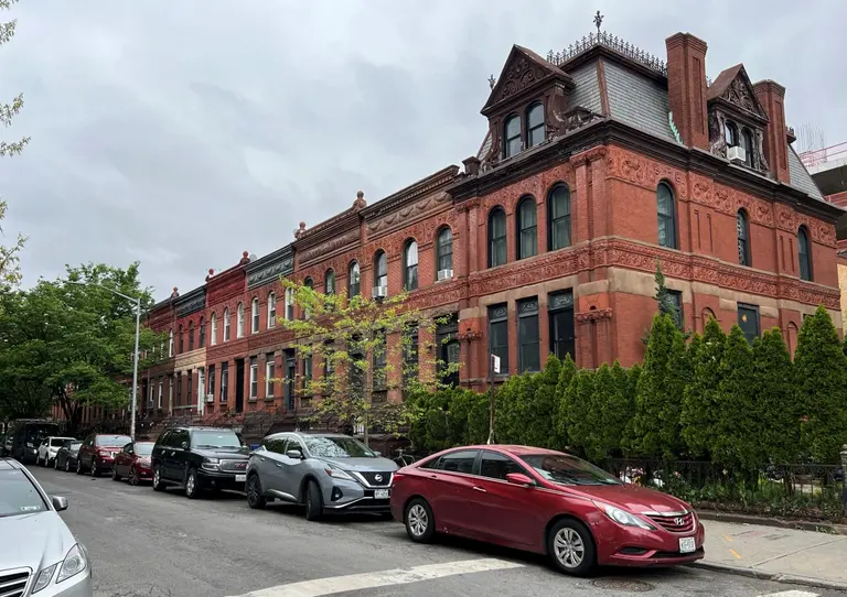
Rezoning is an issue in Bushwick as well, where community groups are currently in negotiations with the City regarding a proposed rezoning of the area that would pave the way for taller developments along transit and commercial corridors.
“I’ve witnessed the changes in Bushwick, as a community gardener and someone involved in the local government, and I’m concerned about the impending rezoning and what it’ll mean for our few open spaces,” said Celeste León, District Manager of Community Board 4. “We already have a deficit of open space. With new developments and people coming, our small existing spaces may suffer with increased use and insufficient resources.”
The report outlines a number of recommendations for Bushwick, such as expanding access to open spaces by creating partnerships between the NYC Department of Parks and Recreation, the NYC Housing Authority, and the NYC Department of Education, increasing multilingual wayfinding information, and strongly encouraging public open spaces in private construction projects.
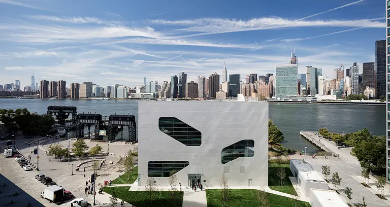
After the City decided to abandon its plan for a neighborhood-wide rezoning of Long Island City, increasingly tall developments are overshadowing the area’s existing open spaces, the report states.
“Long Island City is growing and changing dramatically,” said Frank Wu of the Court Square Civic Association. “New residential and commercial buildings are bringing way more people to the neighborhood, which means that our infrastructure is under increasing strain. While our neighborhood has some of the most beautiful and largest waterfront parks, this report demonstrates that more quality open spaces are needed further inland, closer to where more people live and work.”
The report findings encourage expanding on existing plans for publicly-owned space under the Queensboro Bridge such as the LIC Ramplands, El-Space, and others, in addition to creating new open spaces around Court Square but further from the waterfront.
Read the full reports here.
RELATED:
- NYC needs to invest nearly $6B over the next decade to fix aging park infrastructure, report says
- LIC group wants to rename Hunter’s Point South Park to make it more recognizable citywide
- INTERVIEW: Parks Commissioner Mitchell J. Silver is making NYC parks accessible for everyone


