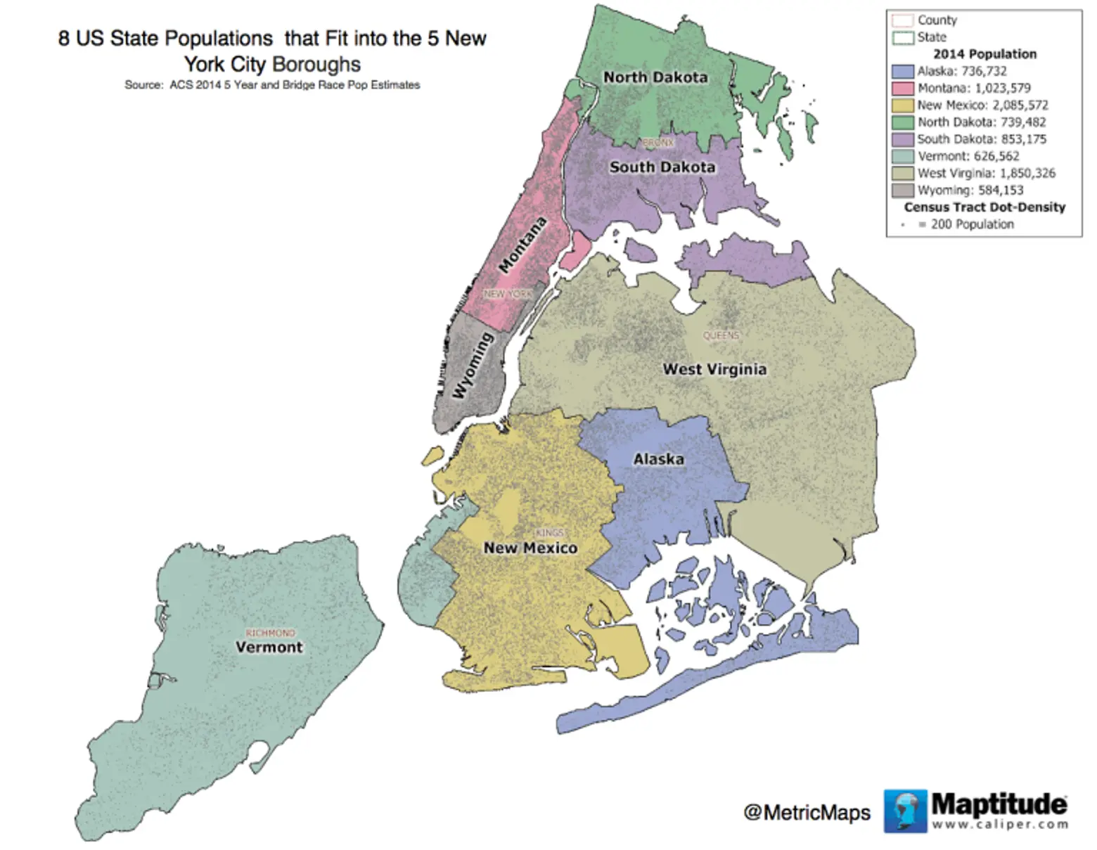
You could squeeze the population of 8 states into NYC’s 5 boroughs

New York City is crowded, but if you needed any more proof that you’re being packed into a urban sardine can, just have a look at this map from Metric Maps which ushers out the city’s current inhabitants for those elsewhere in the United States. As the illustration reveals, to bring NYC’s population from zero back to its mind-boggling 8.5 million, you could pull in the populace of eight different states.
The map above is based on 2014 Census data and includes the states of Alaska, Montana, New Mexico, North Dakota, South Dakota, Vermont, West Virginia and Wyoming. To put what you’re seeing further into perspective, NYC’s five boroughs consists of just 305 square miles versus 1,211,778 square miles across the eight aforementioned states; that makes for nearly 28,000 inhabitants per square mile in the city (not counting all those tourists) versus 7 per square mile averaged for all those other states. And as the latest Census data shows, NYC’s population is expected to grow another few hundred thousand over the next few years.
Are you worried yet?
RELATED:


