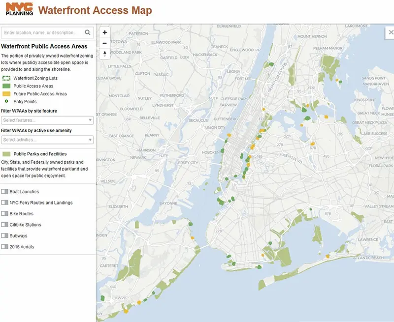
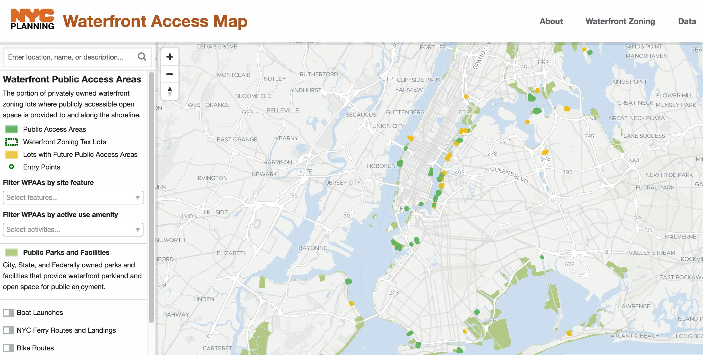
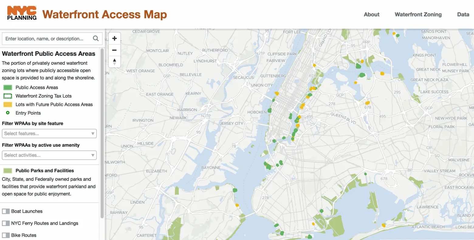
Waterfront Access Map makes it easier for New Yorkers to get to the shoreline

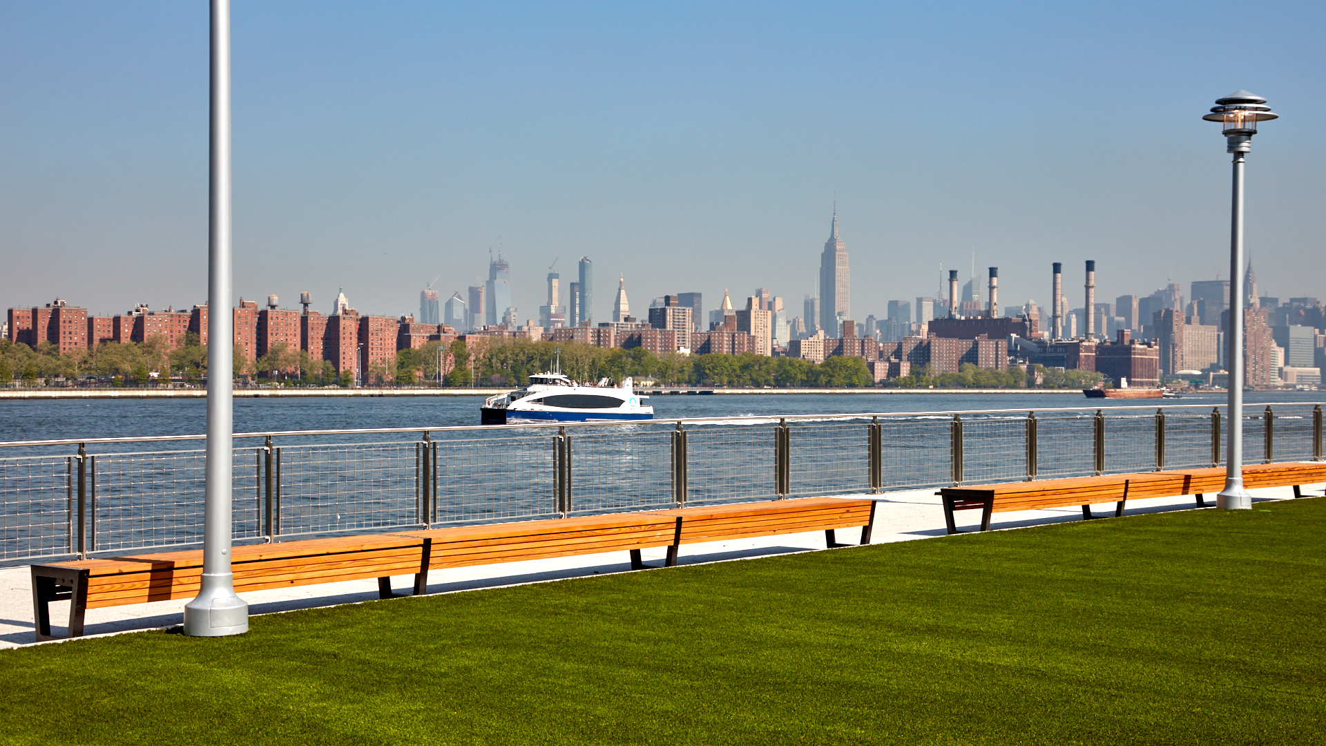
View from Domino Park, photo by Daniel Levin
Fresh off the news that the city will invest over $250 million to connect and green 32 miles of Manhattan waterfront, it’s become easier for New Yorkers to access the existing waterfront spaces open to the public. The Department of City Planning has just released the Waterfront Access Map, a tool to help you find one of the 200 open spaces situated along the city’s 520 miles of shoreline. It was released to mark the 25th anniversary of a 1993 zoning change that mandated public access to the city’s shoreline whenever a waterfront property is redeveloped.
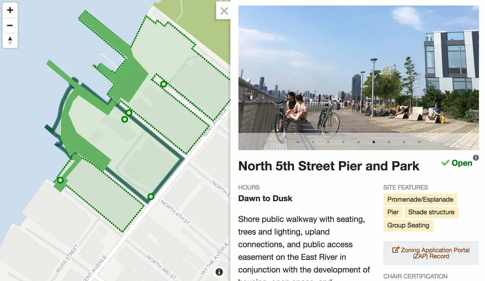
The interactive map covers it all: large waterfront parks like Brooklyn Bridge Park and Hudson River Park, down to lesser-known, smaller waterfront enclaves. (Did you know Faber Park, a waterfront park in Staten Island, also comes with an outdoor pool?)
You can filter the map in a variety of ways. It’ll allow you to search for amenities (such as dog runs, promenades or piers), nearby Citi Bike stations, and opportunities for boating and in-water recreation opportunities. The map also offers more information on how these spaces have been created, and are maintained.
Finally, the map offers a way to see future waterfront spaces now in the works. It’s mostly concentrated around North Brooklyn, where Domino Park recently opened and the Greenpoint waterfront is in the midst of serious development.
Check it out for yourself right here.
[Via Curbed]
RELATED: