The Air Up There: New Map Shows Untapped Development Potential of Every Manhattan Property
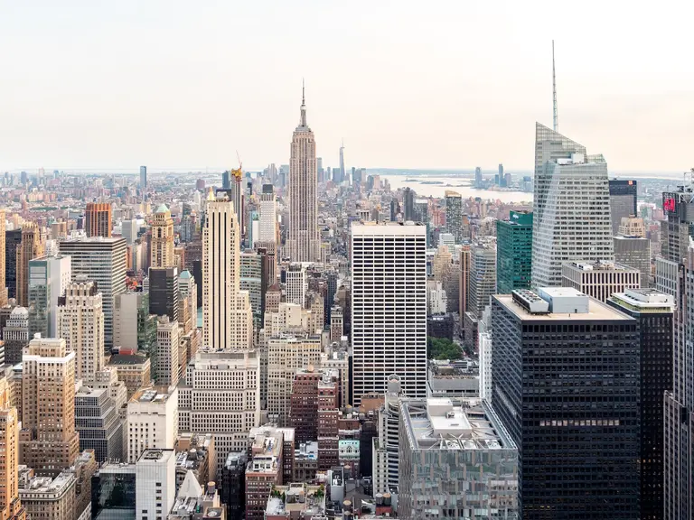
When Extell Development, Hines and JDS Development Group tapped into air space along West 57th Street to push their projects to well above 1,000 feet, preservationist groups were up in the arms. Their outrage prompted The Municipal Art Society, a non-profit whose mission is to “fight for intelligent urban design, planning and preservation through education, dialogue and advocacy”, to create a new map showing just how much untapped development potential exists in the square footage above every property in Manhattan.
Developed using data from the city, this new tool may help give New Yorkers “a voice in major development decisions that will impact their neighborhoods,” according to Margaret Newman, executive director of The Municipal Art Society. More often than not, residents aren’t aware of air rights deals until it is too late, as they are typically privately transacted between the property owner and a developer.
While the new map won’t necessarily bring such deals into the pubic consciousness any earlier, information is power and knowing the potential that exists in a given neighborhood offers an additional resource to those hoping to preserve a little sunshine for their streets. However, we can’t help but wonder if the new map will also give developers a new tool for scoping out their next air rights deal.
What are the available air rights in your neck of the woods? Click on the map above to find out.
[Via Crain’s New York]
