By Aaron Ginsburg, Tue, March 1, 2022 Photo courtesy of Mike Petrucci on Unsplash

Brooklyn officials are calling for the end of minimum parking requirements at new construction projects in transit-rich neighborhoods. Currently, developers of most new residential developments in the borough must create off-street parking spaces for both as-of-right and rezoned projects. Officials argue parking minimums disrupt the area by adding congestion, reducing walkability, and producing more carbon emissions. While changing requirements is seen as more of a long-term goal, officials on Monday voiced a temporary solution: asking the Department of City Planning to encourage developers to include special permit applications to waive parking requirements for any residential project subject to rezoning.
Find out more
By Devin Gannon, Tue, March 17, 2020 Photo by Nicolas J Leclercq on Unsplash
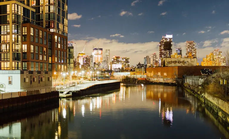
All city land use and rezoning processes have been temporarily suspended as a result of the coronavirus outbreak, Mayor Bill de Blasio announced on Monday. In an executive order, the mayor directed procedures “applicable to the city planning and land use processes” to freeze for the duration of New York’s state of emergency.
Learn more
By Alexandra Alexa, Wed, December 4, 2019 Photo by Danny Navaro via Flickr cc
During a Brooklyn Community Board 6 meeting on Monday night, architects, developers, and city officials revealed preliminary plans for Gowanus Green, a multi-building development on a 5.8-acre site at the corner of Smith and Fifth Streets. Once home to a gas plant, the city-owned site has been vacant for decades and was designated as a “public place” in 1974. As the Brooklyn Daily Eagle first reported, Carroll Gardens and Gowanus residents who were expecting that the site would become a park widely panned the new proposal for a series of buildings ranging from a five-story school to a 28-story residential tower.
More details
By Michelle Cohen, Thu, November 21, 2019 Image: Steven Pisano via Flickr.
The Department of City Planning (DCP), along with Manhattan Borough President Gale Brewer and Council Member Margaret Chin, released on Wednesday the Envision Soho/Noho report, a comprehensive summary of findings and recommendations that address issues and guide future plans for downtown Manhattan’s Soho and Noho neighborhoods. The report represents the result of a six-month-long community engagement series on the two historic neighborhoods, aimed at addressing their unique challenges in the 21st century. Contained in the report is a detailed summary of the engagement process that presents the perspectives of participants, as well as recommendations for guiding future plans for improving quality of life, addressing housing concerns, and supporting the unique mixed-use character of these neighborhoods.
More from the report, this way
By Michelle Cohen, Wed, August 7, 2019 Image courtesy of the Department of City Planning.
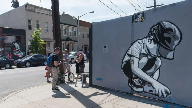
The Department of City Planning (DCP) on Wednesday invited New Yorkers of all ages to help shape the city’s next Comprehensive Waterfront Plan, starting with a “Waterfront Planning Camp” event on Governors Island. In an effort to get community input and feedback on how to make the city’s 520 miles of waterfront better, the DCP is hosting a free Waterfront Planning Camp on Governors Island at Nolan Park, Saturday, August 17th from 12 p.m. to 4 p.m.
Find out more
By Devin Gannon, Thu, April 25, 2019 Photo via CityRealty
The city unveiled on Tuesday its proposal to rezone Bushwick, five years after local residents and officials called on the Department of City Planning to study the growing out-of-context development in the neighborhood. The Bushwick Neighborhood Plan calls for creating and preserving affordable homes, improving public park space, protecting historic buildings, and supporting small businesses. The plan covers 300 blocks, bordered by Broadway to the south, Cypress Avenue to the north, Flushing Avenue to the west, and Trinity and Broadway Junction to the east.
See the plan
By Devin Gannon, Wed, January 30, 2019 Via NYC Planning
The Department of City Planning on Wednesday released a draft of its plan to rezone Gowanus as a way to bring more affordable housing, jobs, and community resources to the Brooklyn neighborhood. In the works for nearly three years, the proposal includes a waterfront access plan that creates public walkways centered around the canal, as well as builds a more resilient shoreline.
See the proposal
By Devin Gannon, Wed, July 25, 2018 The Department of City Planning launched a new data tool on Tuesday that displays the status of all zoning and land use applications dating back to 1970. The Zoning Application Portal, or ZAP, provides the public an easy way to search through 28,000 projects and pending applications, 500 of which are currently in public review. “This online tool is the ultimate in planning and zoning transparency,” Marisa Lago, director of DCP, said. “It’s fast, it’s easy, it’s intuitive. We hope that New Yorkers – residents, advocacy groups, property and business owners – take full advantage, and get more involved in planning for our city’s future.”
Explore the Zap Map
By Michelle Cohen, Wed, June 6, 2018 The banks of the Gowanus. Image courtesy of Department of City Planning
Attempts to rezone the area surrounding the Gowanus Canal, a neighborhood both affluent and in transition, have been in the works for over a decade. Now, Brownstoner reports, the long-anticipated Draft Planning and Land Use Framework of Gowanus has just been released by the Department of City Planning (DCP). The 188-page report is the result of 100 hours of outreach since the launch of the Gowanus PLACES Study in 2016 as well as information contained in a previous Bridging Gowanus Study released in 2014.
Find out more
By Devin Gannon, Wed, December 6, 2017 Rendering of 247 Cherry Street via SHoP Architects
In an effort to slow construction of three residential towers in the Two Bridges neighborhood, City Council Member Margaret Chin and Manhattan Borough President Gale Brewer will submit an application to the Department of City Planning that forces the plan to go through the city’s land use review process. Developments at the waterfront site include a 1,000+ foot tower from JDS Development Group, a 1.1 million-square-foot development from L+M Development and CIM Group, and a 724-foot rental building from Starrett Development. According to Politico, the Manhattan pols hope the review process will encourage public scrutiny of the projects, including a demand for shorter structures.
Find out more