Department Of Transportation

July 3, 2019

Protected bike lane coming to Central Park West after community board approval

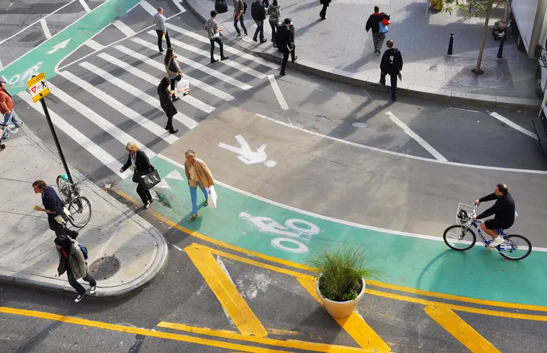
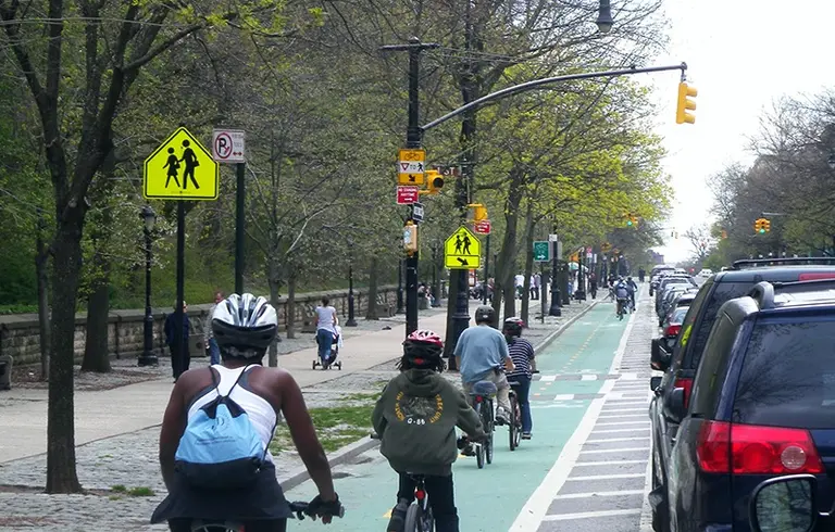
A community board on Tuesday approved a plan to build a new protected bike lane along Central Park West, about one year after a cyclist was killed by a truck there. As West Side Rag reported, Manhattan's Community Board 7 voted in favor of the city's plan, which consists of a northbound protected lane from 59th to 110th Street. Ahead of the bike lane's construction, 400 parking spaces will be eliminated on Central Park West.
Get the details
July 2, 2019

Two new gardens in Queens will provide a space for immigrant communities to grow

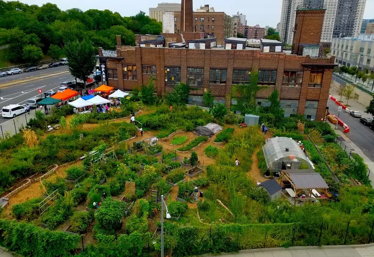
Building on the success of the New Roots Community Farm in the Bronx, two additional New Roots Gardens are currently underway in Queens, the Sunnyside Post reports. The gardens are being planted on both sides of 69th Street near Woodside Avenue and will include vegetable beds, flowers, a greenhouse, and seating areas. As part of a Department of Transportation initiative with the International Rescue Committee (IRC) and NYC Parks GreenThumb, the gardens aim to create a community space for immigrants and refugees, as well as access to fresh and affordable produce.
More details
April 4, 2019

Bjarke Ingels reveals new proposal for a park-covered BQE

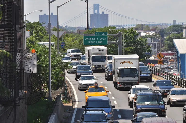
The latest proposal to fix the crumbling BQE comes from Bjarke Ingels Group, who unveiled their plan to a crowd of 1,000 at a town hall meeting hosted by the Brooklyn Heights Association and advocacy group A Better Way last night. Dubbed the BQP—with the P standing for Park—the firm wants to build a new, six-lane highway that would be topped by a public park, saving the promenade and expanding Brooklyn Bridge Park by more than 10 acres. The proposal comes on the heels of Mayor de Blasio hitting the brakes on a $3 billion DOT plan and instead convening a "panel of experts" to determine the best path forward.
Get all the details
April 2, 2019

RPA report for BQE redesign includes ideas for sparing Brooklyn Heights Promenade

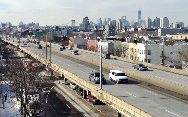
A report released today by civic think tank Regional Plan Organization highlights options for the impending Brooklyn-Queens Expressway reconstruction that would appear to upend conventional highway reconstruction policy. The new report suggests that the DOT could actually reduce the number of lanes needed when redesigning the expressway's 1.5-mile “Triple Cantilever” under the historic Brooklyn Heights Promenade, in addition to looking at congestion pricing, HOV restrictions and two-way tolling for the Verrazano Bridge. The demand management policies outlined contain both immediate benefits–like eliminating the need to block access to the historic Brooklyn Heights Promenade–and long-term rewards like reducing pollution.
Fewer highways, less traffic?
March 13, 2019

NYC Comptroller proposes turning the BQE into a truck-only roadway with a park on top

Adding another perspective to the many voices who are seeking a solution to the “most challenging project not only in New York City but arguably in the United States,” City Comptroller Scott Stringer has outlined his own proposal to save the crumbling BQE, advocating for a middle-ground solution to the heated debate. Stringer's idea (notably without a timeline or proposed budget) is to turn the BQE into a truck-only highway and build a linear park above. "We remain hopeful that the agency can view the BQE's deterioration not just as an engineering challenge, but as an opportunity to create something new and bold that both accommodates essential traffic and enhances surrounding neighborhoods,” he wrote in a March 7 letter to Department of Transportation Commissioner Polly Trottenberg.
See the new plan
January 28, 2019

BQE repair plan could block view of NYC skyline from Brooklyn Heights

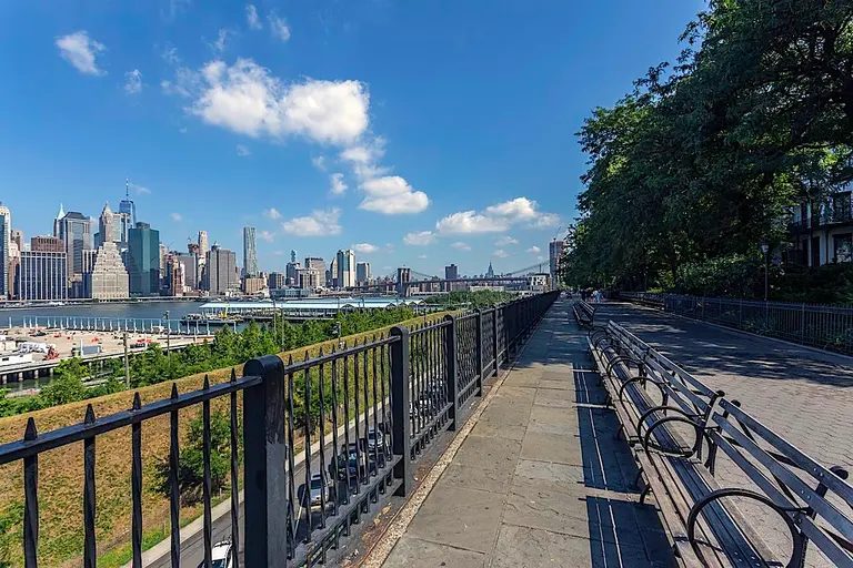
One of the city's plans to rehabilitate a 1.5 mile stretch of the Brooklyn-Queens Expressway (BQE) includes building an elevated highway next to the Brooklyn Heights Promenade. But opponents of the repair plan, which requires the pedestrian promenade to close during construction, say the roadway would block views of the Manhattan skyline. Renderings created for activist group A Better Way NYC shows how an overpass would block sweeping views of the city, as the New York Post reported.
More here
September 21, 2018

Brooklyn Heights Promenade could close for six years during BQE repairs

The Brooklyn Heights Promenade could close for six years while the city rehabilitates a 1.5 mile stretch of the crumbling Brooklyn-Queens Expressway (BQE), transportation officials announced Thursday. According to Politico, the city's transportation department unveiled two plans for revamping the Brooklyn Heights and DUMBO section of the BQE, which supports the promenade. The options include a quicker, six-year plan to divert cars to an elevated highway next to the Promenade or replace the BQE lane by lane, which could take up to eight years.
Get the details
July 24, 2018

MTA to launch 14th Street Select Bus Service to help move 50K more daily riders during L train shutdown

Via Wikimedia The Metropolitan Transportation Authority (MTA) and the New York City Department of Transportation (NYCDOT) have announced that Select Bus Service will be available to riders on 14th Street in Manhattan as of January 6, 2019 ahead of the planned April 2019 L train tunnel closure for repairs to due to damage from Hurricane Sandy. The M14 is expected to become the busiest bus route in the nation during the shutdown, with more than 50,000 additional daily riders expected to move above ground along 14th Street. According to NYC Transit President Andy Byford: "Launching Select Bus Service on 14th Street is a critical part of a multi-faceted service plan to keep thousands of customers moving safely and efficiently as they commute crosstown."
Find out more
June 26, 2018

14th Street to become an all-day ‘busway,’ get new bike lanes during L train shutdown

6sqft previously reported on the city's plans to provide alternatives to the L train during the 2019 shutdown for repairs in the Canarsie Tunnel under the East River and the reaction of community groups affected by the planned changes. A coalition of West Side neighborhood groups fearing disruptions from buses, bike lanes and other changes sued the agencies tasked with implementing the L train alternatives. Now the New York Daily News reports that according to court documents, 14th street will become a "busway" for 17 hours each day–among other strategies–to limit car traffic during the shutdown.
Find out more details
May 17, 2018

MTA documents reveal that 4,000 L train riders will be displaced during shutdown

The latest fear to raise its ugly head in what will admittedly be a major inconvenience–that is, the 15-month shutdown of the L line starting in April of 2019–is the very limited number of trains that will be able to pick up the slack heading across the Williamsburg bridge. The topic surfaced at last night's Town Hall meeting, when, according to the Village Voice, a concerned citizen by the name of Sunny Ng voiced his concerns about how many more trains could fit on the bridge.
Can of worms: Open!
May 1, 2018

The city wants you to bike to work to celebrate National Bike Month

May is National Bike Month and Transportation Alternatives (TransAlt) is hosting its Bike Commuter Challenge. TransAlt and the city are challenging New Yorkers to swap their normal commuting routine and cycle to work. With Citi Bikes on almost every block, over 250 miles of new bicycle lanes, and the hellacious winter behind us, there is no excuse not to “man up.” Especially since, according to NYC DOT, more than 800,000 New Yorkers ride a bike regularly, which is 140,000 more than rode five years ago and means that NYC commuters already bike to work more than any other U.S. city.
There's more bike-related fun to be had in May
May 1, 2018

Agencies announce May town hall meetings to discuss impending L train shutdown

If you've got some choice words to say about the impending L train shutdown, you'll soon get a chance to make them public. The MTA and the New York City Department of Transportation (NYCDOT) have announced two town hall meetings that will be held this month to discuss the Canarsie Tunnel Reconstruction project–aka the L train shutdown–with members of the community who will be affected by the April 2019 service interruption that will knock the line out of commission for 15 months. The meetings, which will be held in Manhattan and Brooklyn, are the latest in a series of public meetings and workshops intended to quell public trepidation about the impending shutdown.
When, where, what to expect
April 4, 2018

MTA sued over L train shutdown plan to transform 14th Street into an all-bus corridor

The Metropolitan Transportation Authority released late last year its mitigation plan for the 15-month shutdown of the L train, set to begin in April of next year, calling for an all-bus, no-car corridor on 14th Street between Third and Ninth Avenues. The city says the MTA will have to run 70 buses every hour across the Williamsburg Bridge in order to accommodate the projected 84,000 daily bus riders. According to the New York Times, this would make 14th Street the busiest bus route in the country. In response, a coalition of Lower Manhattan neighborhood groups on Tuesday filed a federal lawsuit against the MTA and the city's Department of Transportation in attempt to stop repairs of the L train, claiming the agencies failed to conduct an environmental review before releasing its plan.
More here
March 28, 2018

New pilot safety program gives cyclists the green light to follow pedestrian signals

On Tuesday, New York City Department of Transportation (DOT) officials announced a new pilot program that allows bicyclists to follow pedestrian head-start signals at 50 intersections throughout Manhattan, Brooklyn and Queens, AM New York reports. The signals at those intersections have a range of 7 to 11 seconds–known as leading pedestrian intervals (LPI)–before drivers can proceed through the intersections or make turns through crosswalks. Now bike riders can follow these pedestrian signals instead of traffic lights (legally, that is), giving cyclists the safety benefits of added visibility that pedestrians have at those intersections.
Find out more
January 18, 2018

New York City’s first crosstown bike lanes proposed for Midtown

Crosstown protected bike lanes may finally come to Manhattan's Midtown neighborhood, the first of its kind in New York City. The city's Department of Transportation presented on Wednesday a series of proposals to create bike lanes that stretch from the East River to the Hudson River, traveling east to west instead of north to south. The first two protected lanes are proposed to run east on 26th Street and west on 29th Street, where an existing lane will be replaced. Officials are also looking to add a lane moving west on 55th Street and east on 52nd Street. DOT's move to add more protected bike lanes in Midtown comes after the city experienced an increase in the number of cyclist deaths in 2017, despite it being the safest year on record for traffic fatalities.
Find out more
December 13, 2017

MTA releases plan to address impending 15-month shutdown of L train

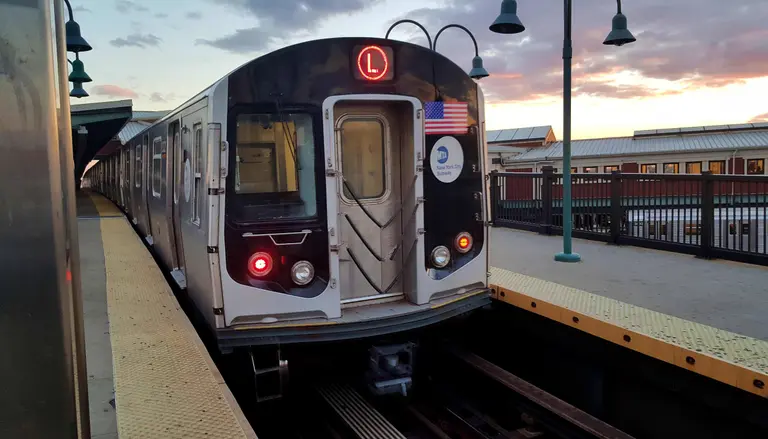
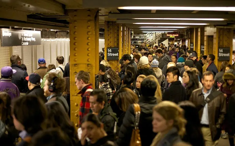
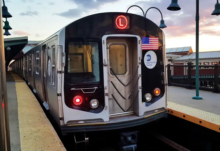
The MTA unveiled on Wednesday its much-anticipated plan for the 15-month shutdown of the L train, set to begin in April of 2019. Hurricane Sandy heavily damaged the 100-year-old Carnarsie Tunnel in 2012, filling it with 7 million gallons of saltwater and forcing a total reconstruction of the tunnel. The 225,000 daily L train riders that travel from Brooklyn through the tunnel to Manhattan will be given alternative travel options, as amNY reported. The MTA's plan calls for a new bus route that would run between Brooklyn and Manhattan, a busway on 14th Street in Manhattan with a two-way bike lane on 13th Street and increase subway service on nearby lines.
Find out more
December 8, 2017

To relieve Brooklyn Bridge congestion, the city wants a bike-only entry and fewer vendors

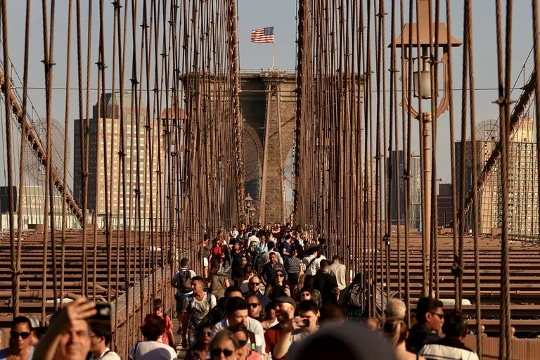
Dubbed the "Times Square in the Sky," the Brooklyn Bridge promenade remains the borough's most popular attraction, experiencing an increase in pedestrian volume by 275 percent between 2008 and 2015. The New York City Department of Transportation released a report on Friday that details ways to reduce the growing congestion of cyclists, pedestrians and vendors on the promenade. After hiring the consulting term AECOM over a year ago to conduct an engineering study aimed at improving safety, DOT has finally outlined steps to be taken in order to limit crowds. As the New York Times reported, the city is exploring ideas like building a separate bike-only entrance to the Manhattan side of the bridge, possibly expanding the width of the promenade and reducing the number of vendors allowed to sell goods, while restricting where they can sell them.
More this way
October 23, 2017

De Blasio unveils five-point plan to reduce congestion on NYC’s busiest streets

Mayor Bill de Blasio announced on Sunday a five-point plan designed to ease congestion in the city’s busiest neighborhoods. The program, called “Clear Lanes,” includes a series of initiatives like creating new moving lanes in Midtown, clearing curbs during rush hour and expanding NYPD enforcement of block-the-box violations. Beginning in January, in addition to the heavily congested Midtown, rush-hour deliveries will be banned during a six-month test run on Roosevelt Avenue in Queens and Flatbush Avenue in Brooklyn (h/t New York Times).
Find out more
September 5, 2017

Citi Bike will add 2,000 bikes and 140 new stations this fall

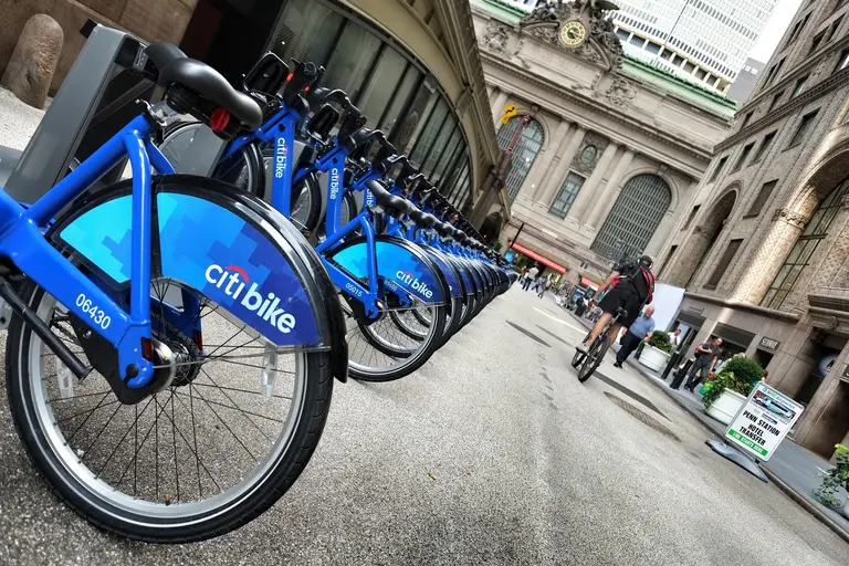
Since it was first introduced to New York City in 2013, Citi Bike, a bike-share program, has grown from operating 6,000 bikes to a current total of 10,000 bikes in over 600 locations. Looking to expand even further, Citi Bike will add 2,000 bikes and 140 new stations in Long Island City, Astoria, Crown Heights and Prospect Heights. According to Metro, the expansion will begin on Sept. 12 and continue until the end of the year.
More this way
July 21, 2017

Nearly complete tunnels under Hudson Yards need more funding to finish

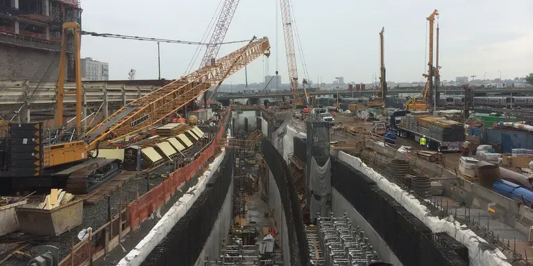
Currently, the first part of two box tunnels under the Hudson Yards development, below 10th and 11th Avenues on Manhattan’s west side, sits mostly finished. While construction of the final piece has yet to begin, when it’s complete the remaining section would link the tubes to the proposed new tunnel under the Hudson River, providing better access to Penn Station. However, according to the New York Times, both tunnel projects, which fall under the multi-billion dollar Gateway Program, lack the funding needed to finish.
More details here
July 7, 2017

Hudson River tunnel project’s price tag jumps nearly 50 percent to $13 billion

According to a report released Thursday by the federal government, constructing a new rail tunnel under the Hudson River and repairing the existing one could cost nearly $13 billion, almost a 50 percent increase from an earlier $7.7 billion estimate. Transit officials say they are moving forward with the project because of its urgency; the two-track tunnel, which takes Amtrak riders and NJ Transit commuters to and from New York City, is over 100 years old and was severely damaged by Hurricane Sandy. According to Crain’s, the report, which evaluated the plan’s environmental and economic impacts, follows the recent withdrawal of the U.S. Transportation Department from the Gateway corporation board.
Find out more
July 5, 2017

U.S. Department of Transportation backs out of group overseeing Hudson River tunnel project

Despite forming an infrastructure task force made up of two New York-based developers, the Trump administration has withdrawn from the board of the Gateway Program, a $23.9 billion project that would add a second rail beneath the Hudson River. According to the Wall Street Journal, the U.S. Department of Transportation (DOT) said it is not their “practice to serve in such a capacity on other local transportation projects.” As the number of commuters entering the city from NJ continues to grow, the purpose of the Gateway Program was to double rail capacity between the two states as well as fix the Hudson River tunnel’s crumbling infrastructure, which was damaged by severe flooding during Hurricane Sandy. If one of the two tubes needs to be shut down before a new tunnel is built, train capacity into NY would be reduced by 75 percent.
Find out more
June 5, 2017

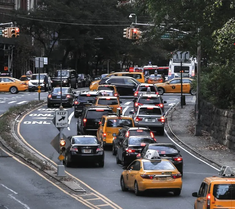
$2.75 congestion fee proposed for cars entering Manhattan south of 60th Street

Image via Pexels Advocacy group Move NY has suggested that the city impose a congestion charge on motorists driving on Manhattan's most crowded streets. Similar proposals haven't fared well in the state legislature–but the group cites a 1957 state law that says cities with a population of over a million can toll their own roadways and bridges. The Wall Street Journal reports that Move NY will offer the City Council's transportation committee a new proposal today under which the city would impose a $2.75 charge on automobiles entering Manhattan's central business district below 60th Street. The fee for trucks would be higher; for-hire vehicles including taxis would pay a congestion surcharge based on trips within the zone.
Find out more
April 11, 2017

Contest winners suggest a car-free 14th Street with shuttles and bike lanes during L train shutdown

Advocacy group Transportation Alternatives has been trying to stay focused on grounded solutions–literally, as opposed to the tunnel and skyway ideas that are also being discussed–to mitigate the anticipated possible chaos when the dreaded 15-month L train shutdown hits. The organization is aiming for the ear of the Department of Transportation (DOT) and the MTA which control street design and bus expansion, respectively. The group recently held an "L-ternative" contest seeking pedestrian-centered proposals for main transit corridors along the L line, such as 14th street, Gothamist reports. The winning proposal, called 14TH ST.OPS, imagines a (car) traffic-free 14th Street with a six-stop shuttle bus using dedicated lanes, plus protected bike lanes.
Check out the winning post-L-Train vision