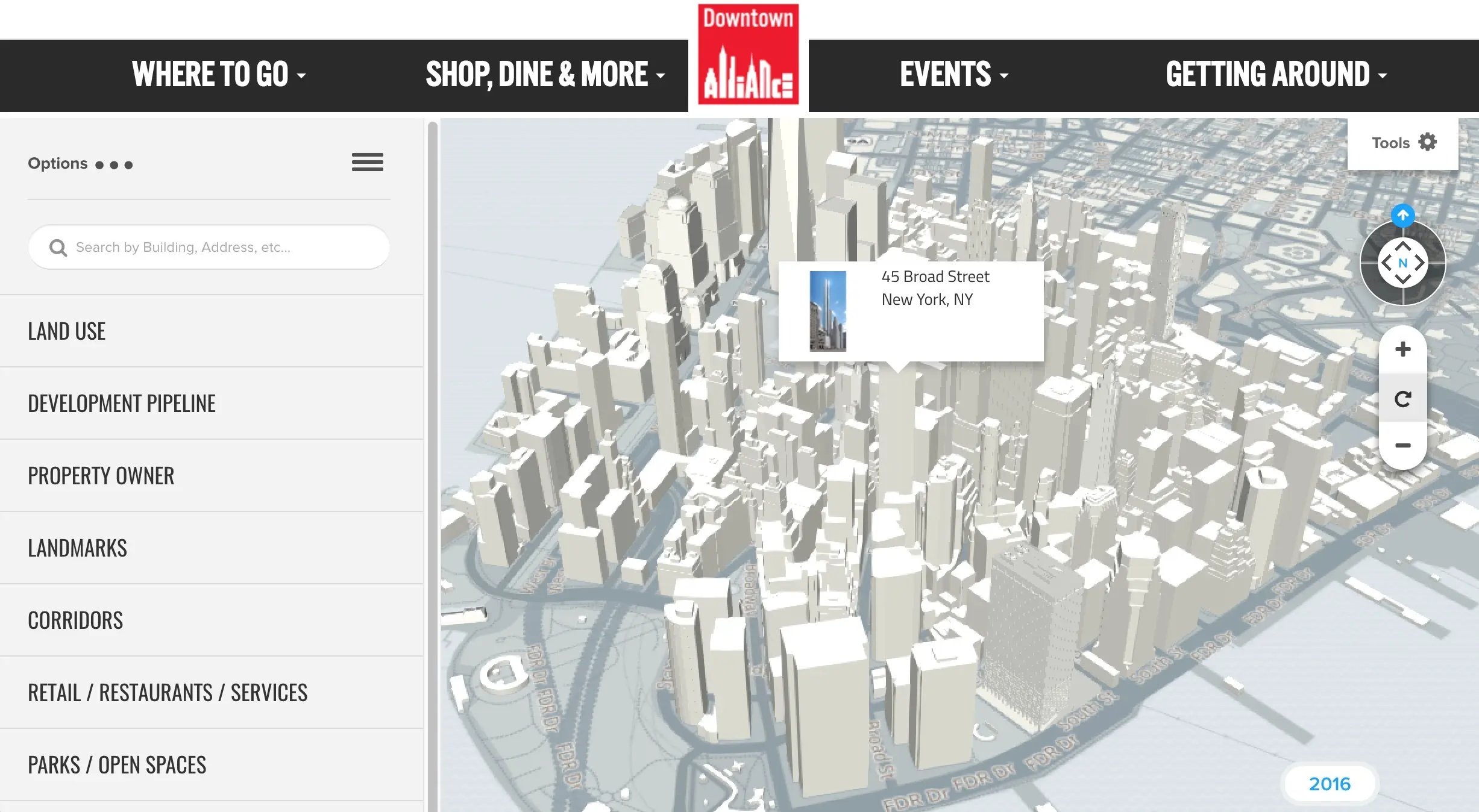
Interactive 3D map of Lower Manhattan updates new developments daily

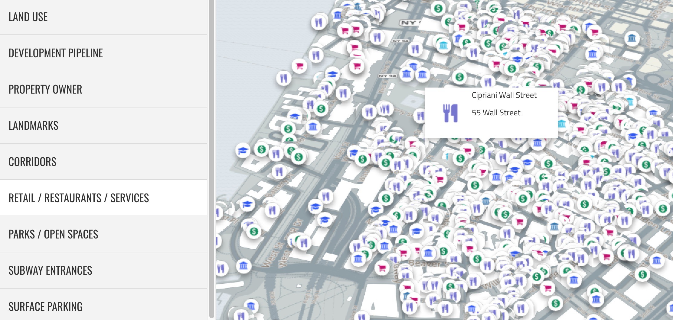
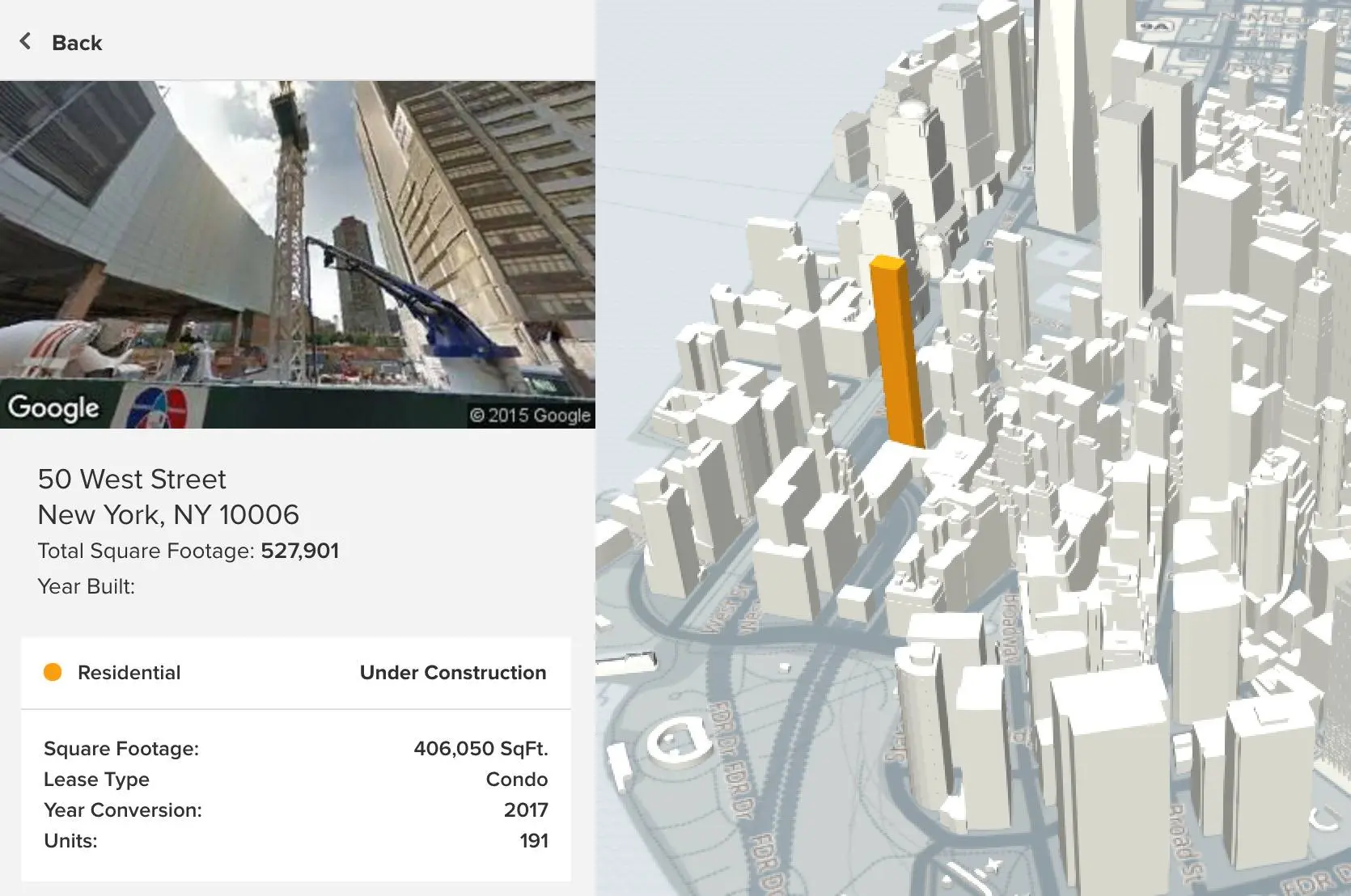
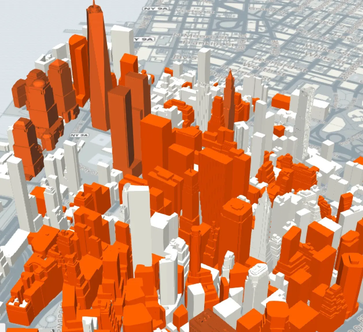
Lower Manhattan is the nation’s third-largest business district and in recent years its residential building stock–both conversions of historic structures and new developments–has exploded. To track this booming urban landscape, the Alliance for Downtown New York launched an interactive 3D map to serve as a “comprehensive visualization” of the area, tracking all current and future developments within the square mile below Chambers Street. In addition to residential, office, and hotel properties, LM3D also breaks down restaurants, retailers, transit, parks and open space, landmarks, and vacant land.
LM3D from DowntownAlliance on Vimeo
The map was created as a “new way to see, strategize, and envision” for planners, investors, and residents. It’s also an amazing way to see change over time, as users will be able to toggle the date from the past to the present to the future.
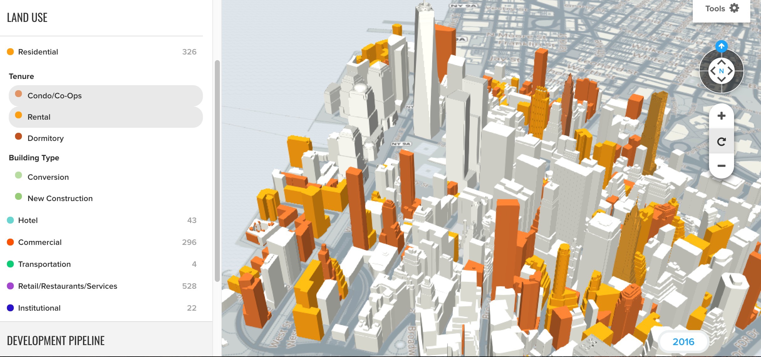
They’re also able to filter data in a variety of ways–condo/co-op vs. rental, new construction vs. conversion, and under construction vs. planned.
If a specific building is selected, the tool provides its square footage, construction date, floor count, and number of units (if applicable).
The map is currently in its beta stage but will be updated over the next few months to include historical perspectives of Lower Manhattan development.
Explore LM3D here>>
RELATED:


")


