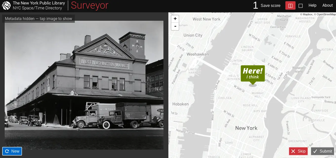
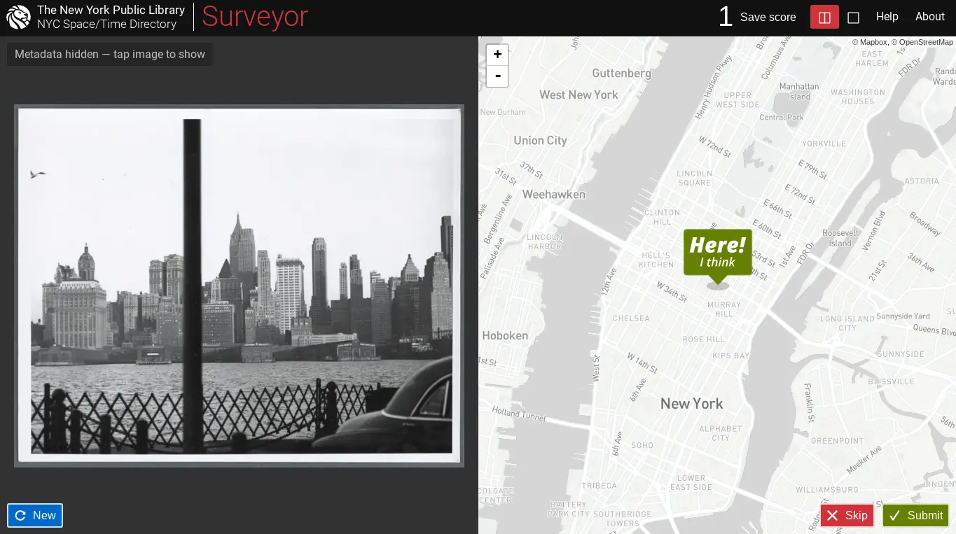
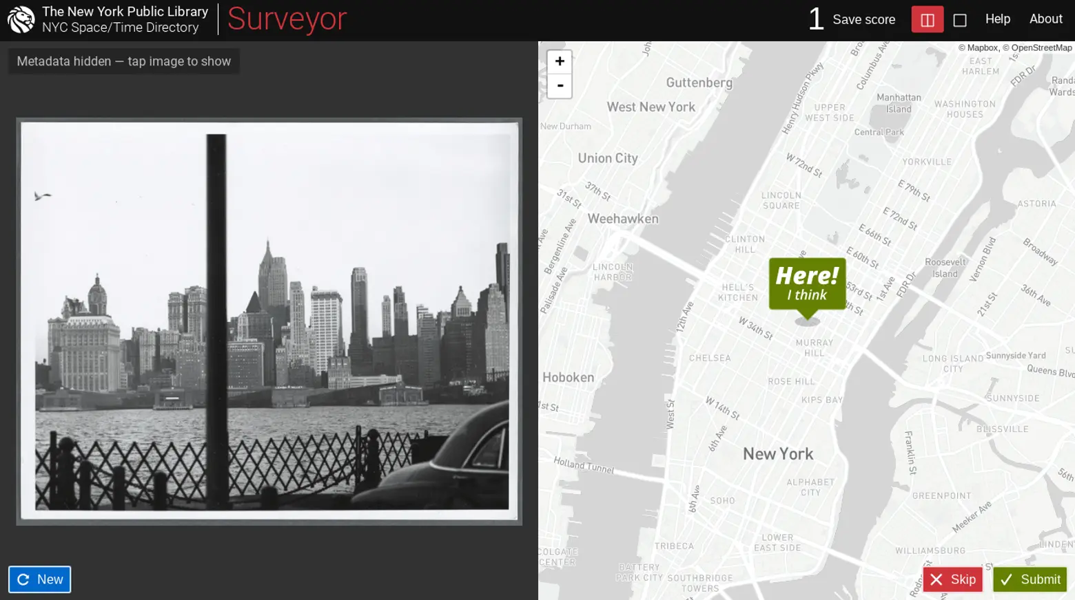
Help the NYPL geotag historic photos of New York City

The New York Public Library has a challenge for all history gurus and NYC experts: Place unlabeled historic photos of the city at the correct location on a map. The new website called Surveyor crowdsources geotags of the NYPL’s photo collections with the goal of creating a digital database to make it easier to find images by the location they were taken. While some photos come with helpful titles that describe the location or the address, others only include the neighborhood or vague details. Since algorithms and search engines won’t be able to pick up locations of these old photos, the NYPL is seeking help from the public.
The geotagging tool allows users to view and place images on a map of New York City, including all of its boroughs and Long Island. With each contribution on Surveyor, the NYPL gains more information about their digital collections. This isn’t the first time the library used crowdsourcing as a way to find more information. Over the past seven years, NYPL has asked the public to geo-rectify their collection of maps, turn historical menus into data that can be searched, transcribe an oral history project and extract historical addresses and building footprints from atlases of the city.
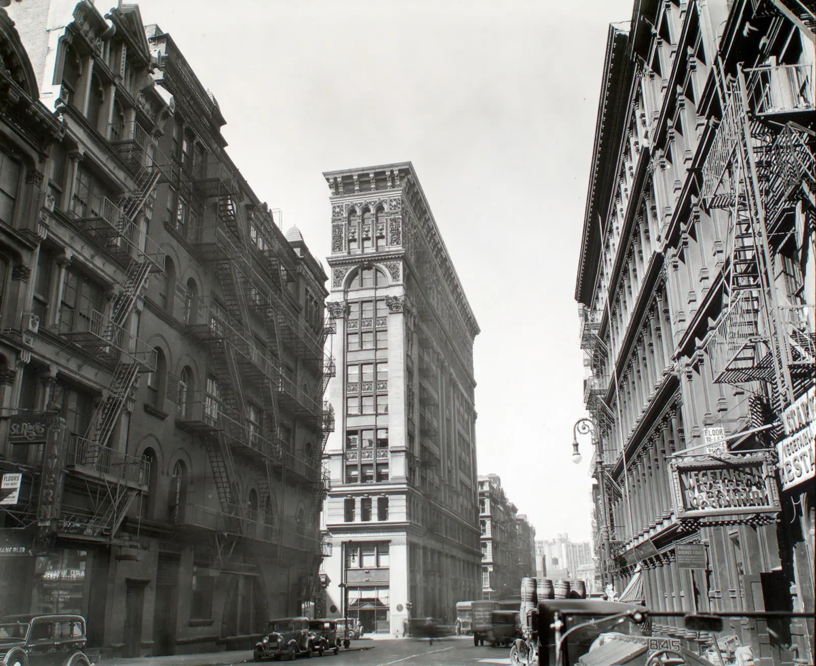
To begin, the NYPL will release around 2,500 photos from five different collections, but more will be added later. Surveyor currently contains photos from the Eno collection; Changing New York; Fifth Avenue New York, from start to finish; Morris Rosenfeld Photographs, a collection of photos of NYC from 1931-1942; and a collection of photos of New York City, New York State and more by Max Hubacher.
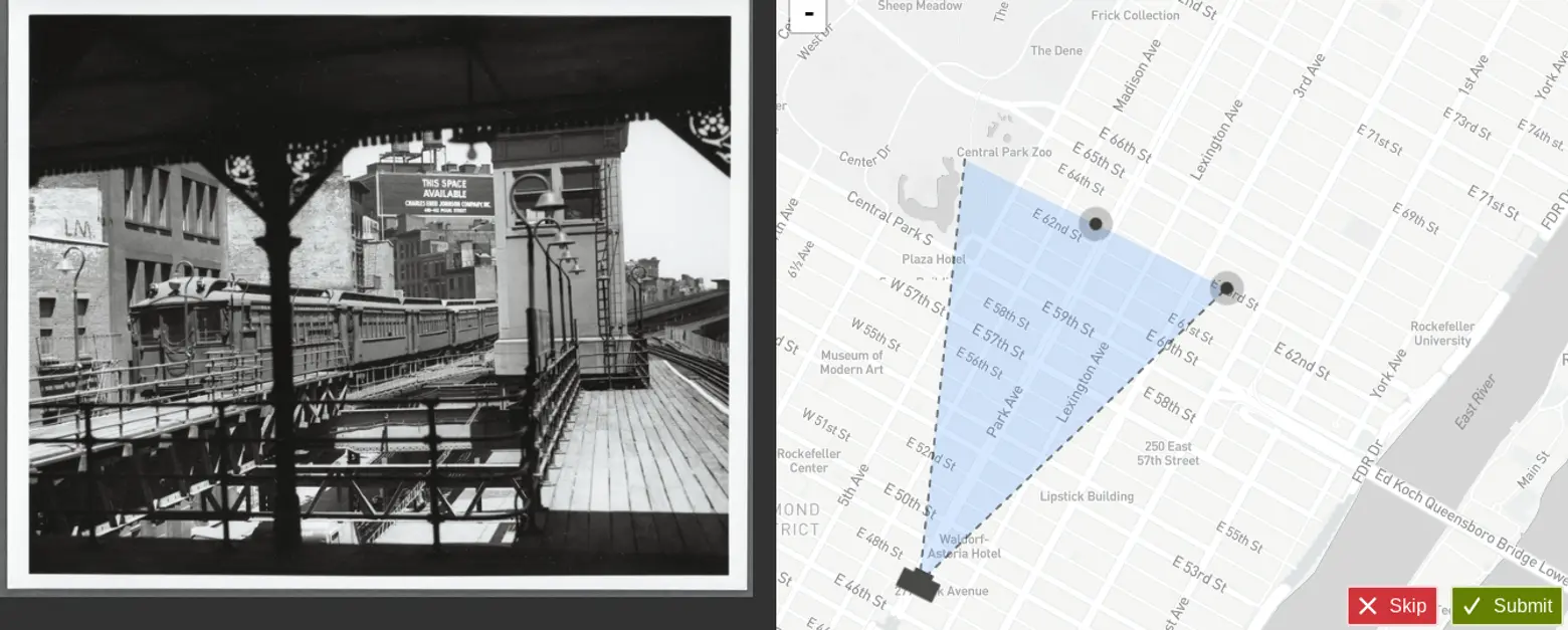
What makes Surveyor unique compared to other crowdsourced geotagging websites is that the data is freely available for anyone to use. The code is open source and available on GitHub, and the photos will be open data. Plus, Surveyor asks users to not only mark the correct location of the photo but also note the direction and angle of the view of the image. And every time an item is geotagged, users receive a cute “thank you” animal sourced from public domain items within the library’s collections.
Surveyor is part of the library’s NYC Space and Time Directory, a two-year effort to make their collection of photos, maps and other sources more accessible. If the library can know the location of where photos were taken, they can use them to juxtapose their maps with photos, creating a new interactive map to let users more easily connect with them simultaneously. Test your knowledge of NYC history by using the Surveyor map here.
RELATED: