Google Maps can predict how crowded your subway or bus will be

Photo © 6sqft
Google Maps has just released a couple of upgrades that should make New Yorkers’ commutes a little bit easier, or at least, slightly more predictable. From now on, the app will be able to tell you how crowded your subway, bus, or train might be, so you can decide if you prefer to squeeze in or wait for a vehicle where you’re more likely to snag a seat. The upgrades also expand the app’s live traffic delays for buses (which began rolling out in December 2017) to cities that didn’t already provide those updates.
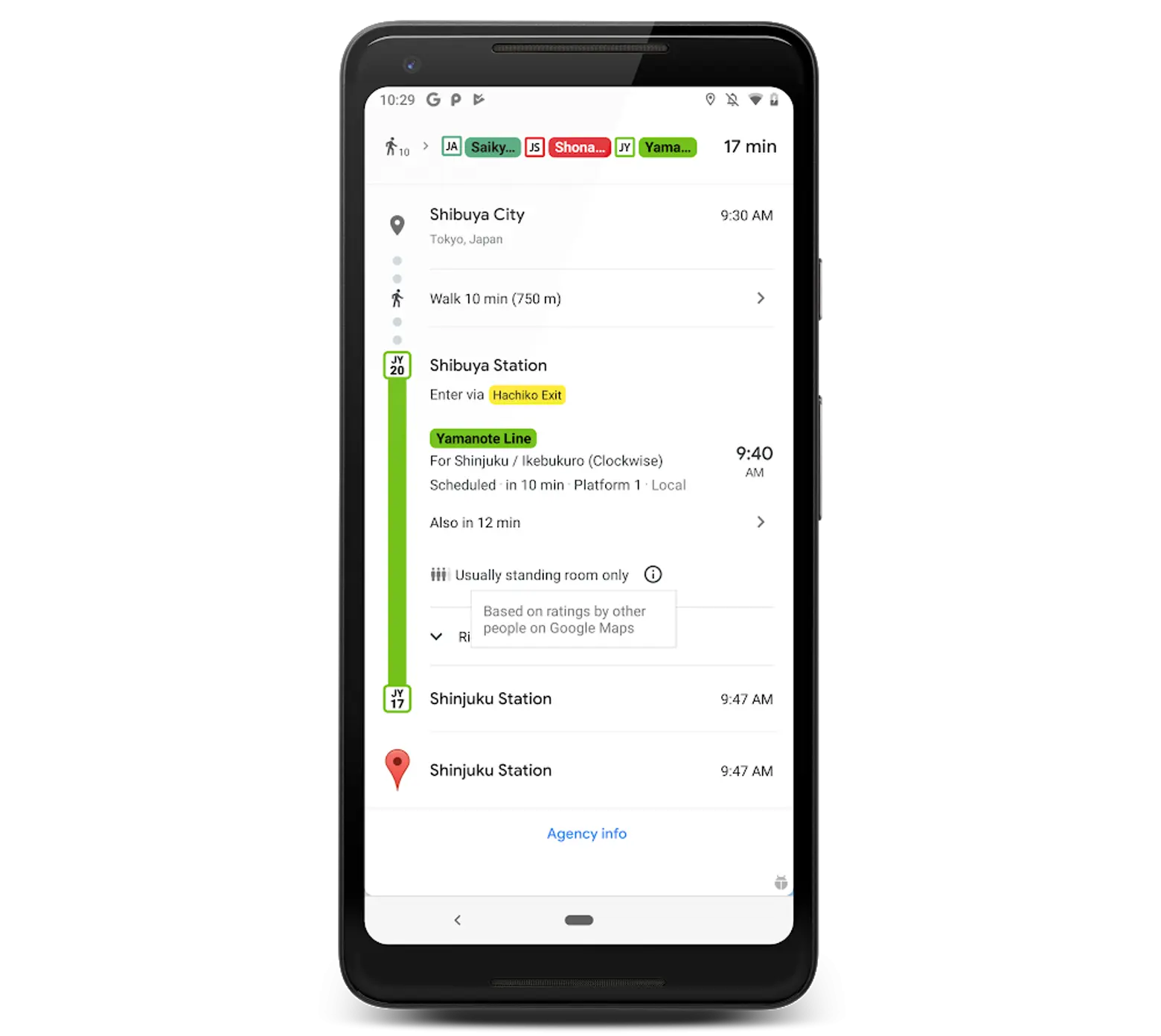
Google is using data gathered from straphangers like you to reach its predictions. Beginning last October, the company started asking Google Maps users who commute from 6 a.m. to 10 a.m. to rate their journeys and answer questions about how many seats were available, if any. This data formed the basis of the prediction models that are being used in the latest updates. The data was also used to generate rankings of the most crowded routes in the world. New York’s L train was the only stateside transit line to just barely crack the top ten.
According to Google, the updates are now available in over 200 cities on both Android and iOS devices.
RELATED:


