April 28, 2022

Here are NYC’s new Open Street locations for the 2022 season

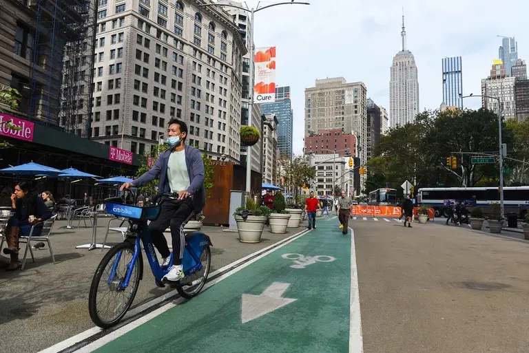
More than 300 blocks will be closed to cars for pedestrian use as part of the city's 2022 Open Streets program, the Department of Transportation announced last week. This year's program--considered the largest of its kind in the country--has expanded to include 21 new locations, with a total of 156 locations throughout the five boroughs. All of the open streets will be active by the summer of 2022.
Find out more
October 26, 2021

Six blocks of Broadway will become Manhattan’s largest shared street as part of open space plan

Mayor Bill de Blasio and Department of Transportation Commissioner Hank Gutman have announced more improvements coming to the city's streets, including six blocks of Broadway that will be fully dedicated to pedestrians or modified so that cars, cyclists, and pedestrians can share the street. The DOT’s “Broadway Vision” will reimagine 12 blocks of the Manhattan street as shared public street space.
Find out more of what's coming to the streets
July 8, 2015

VIDEO: Travel Through History to See How Transportation Has Changed

The fact that skiing has gone from a major mode of transportation to a winter recreational activity says a lot about how getting from point A to B has changed over the course of human history. "Here to There," the latest video in the Atlantic's 10-part animated series (we previously featured an installment on housing through time), traces the history of transportation from the canoe in 8,000 B.C. to the recent debut of the hydrogen fuel-cell car. Covering more than 10,000 years in two-and-a-half minutes, this video shows that there is much more to the timeline of transportation than the switch from horses and buggies to motor vehicles.
Watch the video here
May 18, 2015

Live Data Map Lets You Watch the World’s Mass Transit Systems Move

If you've ever marveled at how the world's public transit systems keep people moving across town and back every day, TRAVIC (Transit Visualization Client), which shows scheduled routes of trains and buses as well as real-time positions (the MTA provides real-time data feeds) from more than 200 public transportation systems worldwide, will keep you busy for a while. The data map, created by Swiss-German IT company GeOps and the University of Freiburg, lets you watch the C train (or your own regular punishment) crawl slowly through its scheduled stops–and wonder why there seem to be so many more trains running on the Paris Metro.
More this way

Our Mission

More than just current events, here you'll learn about the places, people, and ideas that are shaping your city.