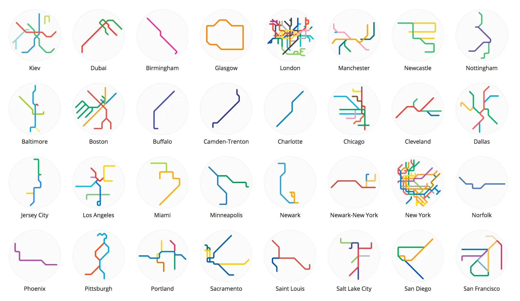
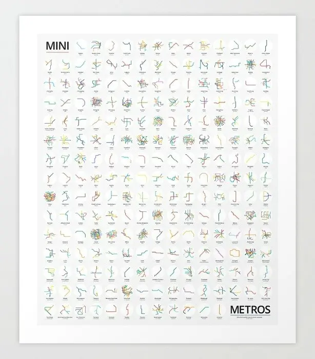
Mini Metros shrinks and simplifies 220 transit systems from around the world

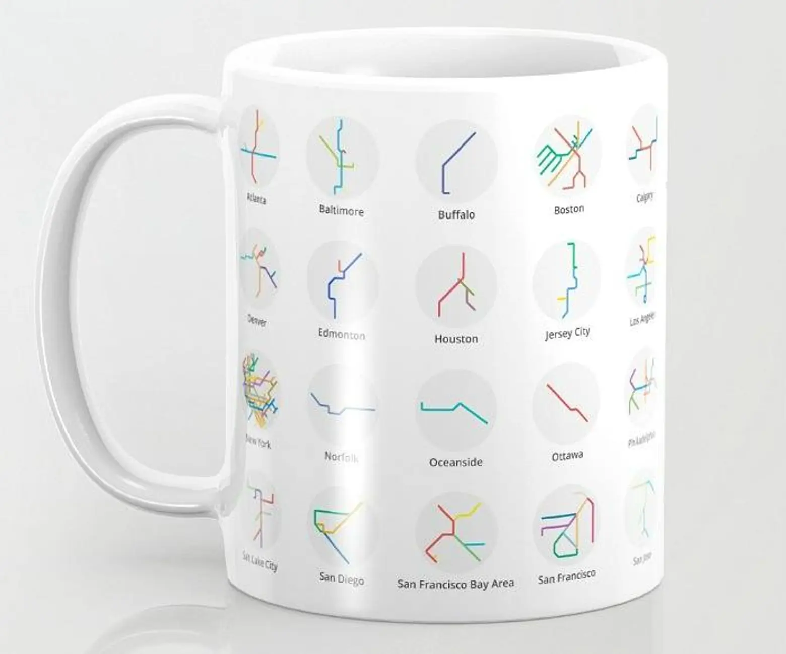
When D.C.-based graphic designer and transit enthusiast Peter Dovak tried his hand at creating a transportation-based app, he was taken by the clean, simple appearance of the icons he’d made for the navigation bar–small circles containing shrunken versions of metro or light rail systems. He’s now designed them for 220 cities as part of his ongoing Mini Metros series, and made the colorful maps available as prints, mugs, and magnets.
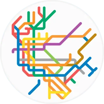
 NYC
NYC
Among the most challenging cities to create (due to their large, complex systems) were New York, Seoul, Tokyo, Paris, London, and Shanghai. Dovak updates his maps several times a year to account for new lines and extensions; he most recently fine tuned them at the end of 2016, adding NYC’s Second Avenue Subway. He’s so thorough, in fact, that New York City even includes the Staten Island Railway.
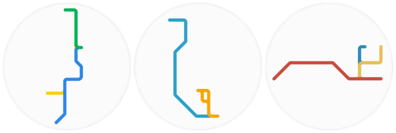 L to R: Jersey City; Newark Light Rail; PATH
And the project also includes commuter cities; Jersey City’s Hudson-Bergen Light Rail gets a circle, as do both Newark’s Light Rail and the PATH.
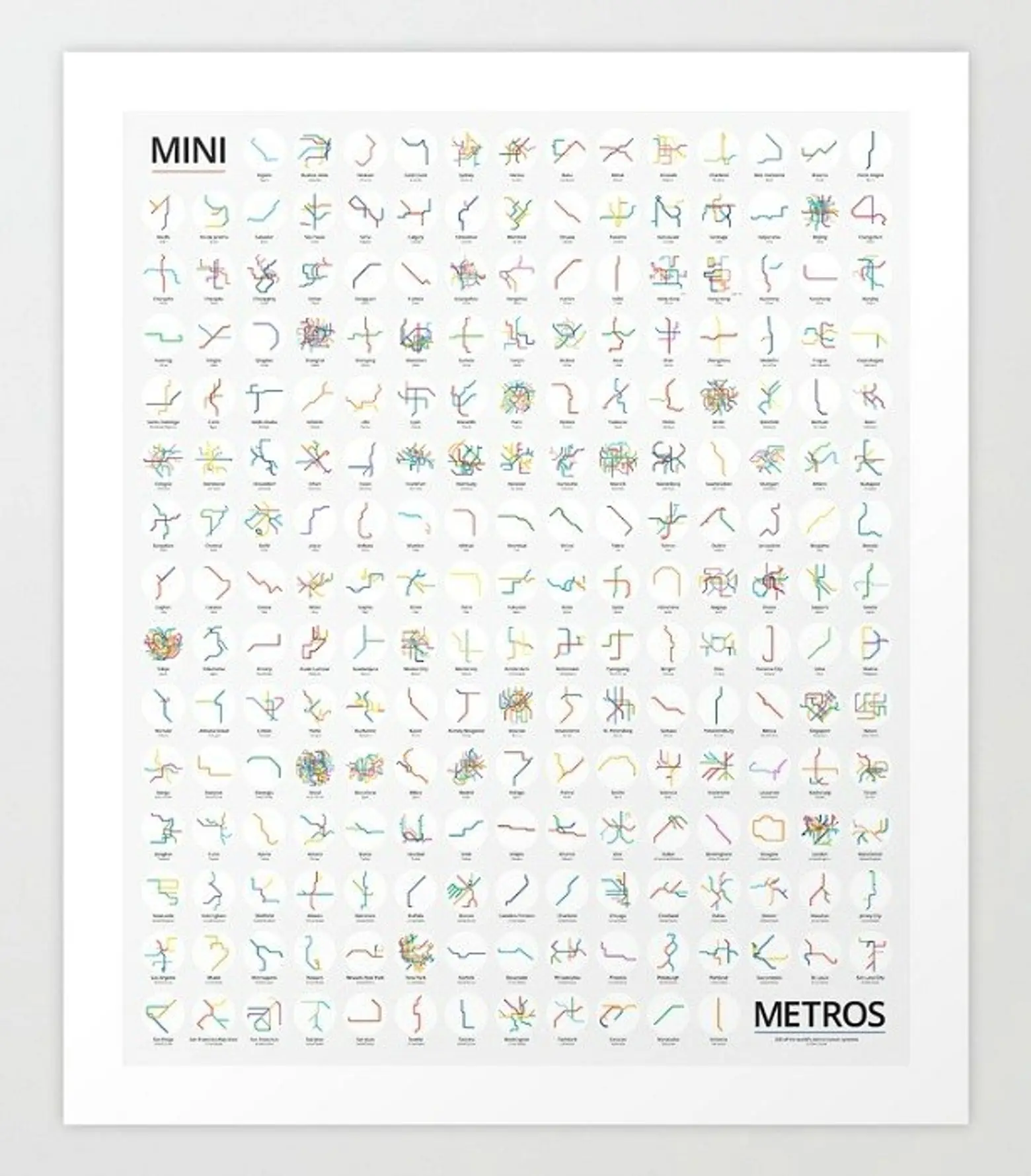
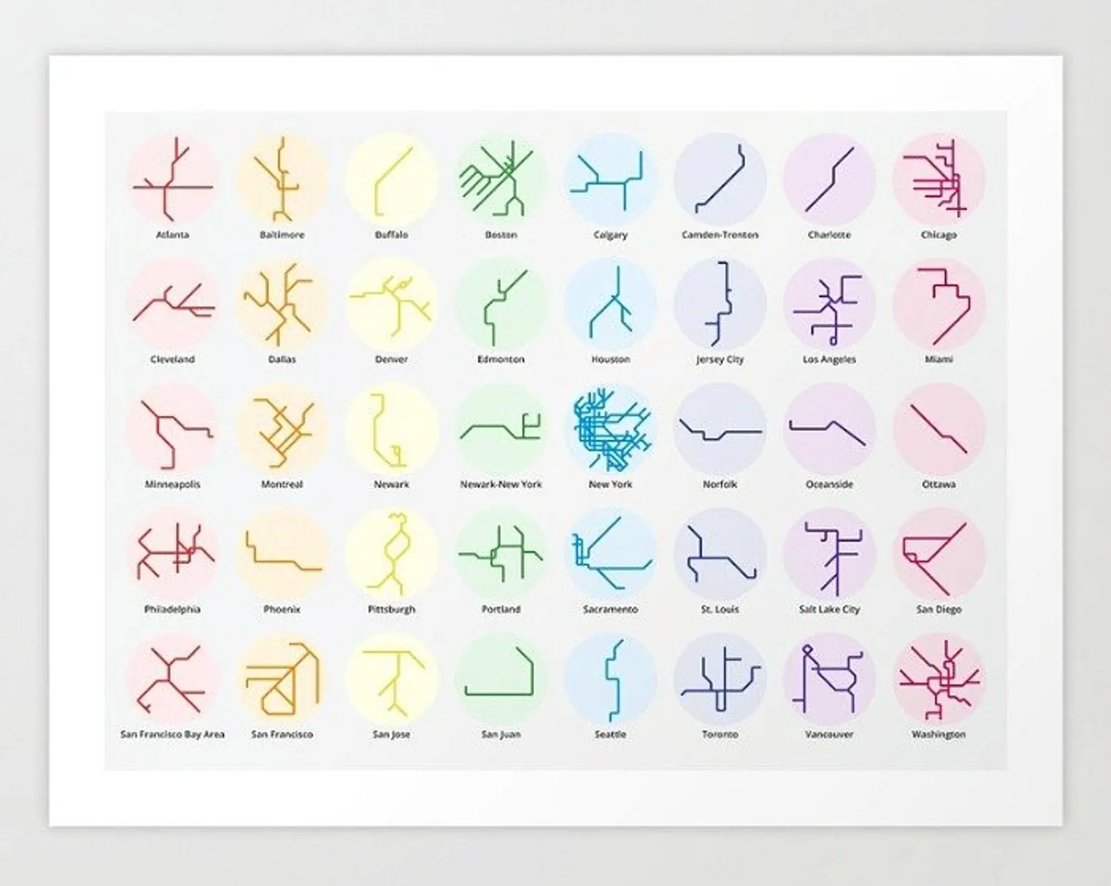
The maps’ lines are all either straight or angled at 45-degrees, which, along with the bright, primary colors, creates a standardized look. There are also black-and-white versions or prints that only use certain colors to create a fade effect.
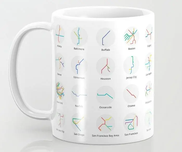
Explore the full Mini Metros project here, and shop for merchandise on Society 6.
[Via Colossal]
RELATED:


Get Insider Updates with Our Newsletter!
Leave a reply
Your email address will not be published.


Functional and beautiful graphic design.
Hi.
I would like to buy the big poster with all the Mini Metros Map.
How do do?
Do you have a link to an E Shop?
Is delivery possible in Belgium – Europe?
thanks!