New York to be first major city with flood maps based on climate change factors

A Howard Beach home after Hurricane Sandy, photo courtesy of Pamela Andrade’s Flickr
For the first time since 1983, the Federal Emergency Mangement Agency is redrawing New York’s flood maps, taking into account the consequences of climate change like rising sea levels and stronger storms. With hundreds of miles of coastline and a growing number of developments sprouting along its waterfront, New York has more residents living in high-risk flood zones than any other city in the United States, according to the New York Times. FEMA’s new map, while still years away from completion, could have a profound effect on the city’s future developments and zoning regulations. It could place more residents and buildings in high-risk flood zones, requiring pricey flood insurance as well as tougher building codes and restrictions on new developments.
FEMA proposed preliminary maps in 2013 after Hurricane Sandy wrecked the city and caused $19 billion in damage. These updated maps would have doubled the area of flood zones and the number of residents that live in them. The city challenged the agency’s scientific assumptions and argued the agency had overstated the base flood elevation by two feet in some areas.
The city claimed that putting roughly 26,000 buildings and 170,000 residents in high-risk locations would create “an affordability challenge.” A study of the potential impact of FEMA’s maps in Brooklyn, Queens and Staten Island found they could “reduce property values, increase loan defaults, lower tax revenue, and create hardships for current residents.” FEMA agreed to hold off on the 2013 proposed maps.
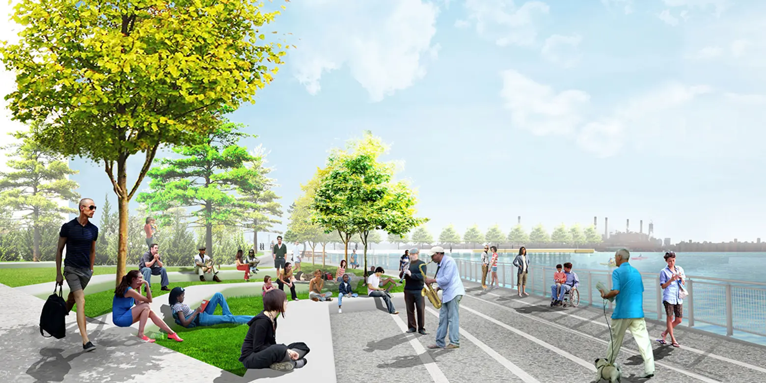
2015 renderings of the esplanade park at Greenpoint Landing, courtesy of James Field Corner Operations
While talks between FEMA and the city about the new maps will likely begin again soon, real estate groups are already taking into account flood maps when building developments along the waterfront. For example, a project under construction in Brooklyn known as Greenpoint Landing will be designed to protect from storm surges and winds. The 11-building with 5,500 apartments spread out over a 22-acre development features an esplanade park that rises from the East River and will be made out of absorbent material. The project will raise the waterfront by three to five feet above the existing coastline.
Flood maps have not always proven to be an exact method of prediction; a federal report estimated there was a 40 percent “uncertainty of food predictions.” After Hurricane Sandy, 80 percent of people who had flood damage did not have flood insurance.
[Via NY Times]
RELATED:


