City Releases New Public Art Map With More Than 1,000 Sites

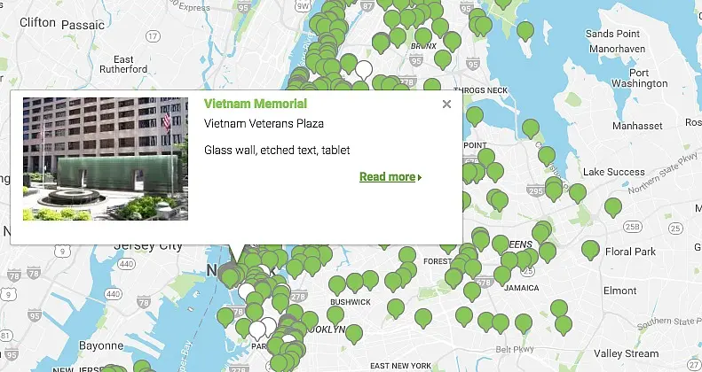
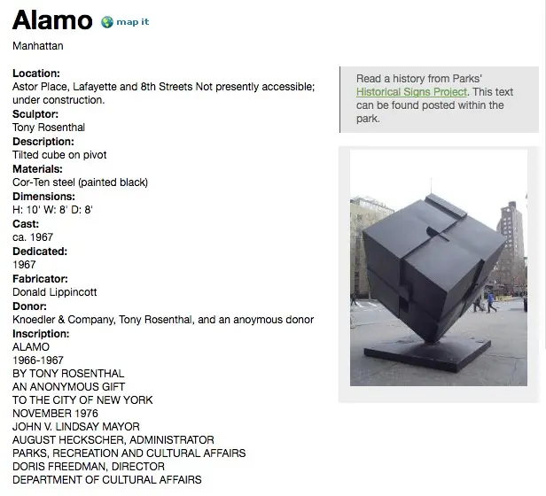
“New York City’s parks are host to the country’s greatest outdoor public art museum,” says the Parks Department as an introduction to their new interactive Public Art Map and Guide. First spotted by Brokelyn, the map features more than 1,000 public art sites and monuments across the boroughs. It also plots temporary exhibits and gives a brief description of them.

You can simply browse the map by clicking the pins (green are permanent, white are temporary), or you can search by zip code or address. You can also search for a specific site or exhibit or peruse by keywords such as 9/11, abstract, or Civil War. Once you select your site, you’ll be directed to a page with plenty more information.
Explore the full map here >>
RELATED: