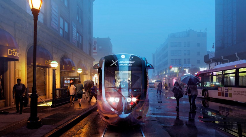
The Brooklyn-Queens Streetcar Would Run Entirely Through Flood Zones

Map of streetcar route via NYC mayor’s office (L); Map of flood-prone areas via FloodHelpNY (R); combined image via Streetsblog
Leading up to Mayor de Blasio’s press conference on Tuesday about his proposed Brooklyn-Queens streetcar plan, the internet has been abuzz with criticism and concerns, including whether or not it will accept MetroCard transfers, how it won’t really connect to existing subway lines, funding matters, and the issue that the system may favor “tourists and yuppies.” But Streetsblog makes another very interesting point–the fact that the proposed route will run almost entirely through city- and FEMA-designated high-risk flood zones, which “raises questions about how the streetcar infrastructure and vehicles would be protected from storm surges, as well as the general wisdom of siting a project that’s supposed to spur development in a flood-prone area.”
When the issue of flood zones was raised at the press conference, de Blasio said, “We’re going to be in a very different situation than we were a few years ago when Sandy hit.” Transportation Commissioner Polly Trottenberg noted that the system will run on batteries and “for the most part” won’t utilize overhead wires. The Mayor also claimed the streetcar would be more flood-proof than the subway: “Now I think the MTA has been doing very important work to add resiliency to the subways but, in fact, surface transportation will come back online a lot quicker than subways under many situations, so having a light rail system gives us something that we think will be there despite whatever happens with the flooding, even if sometimes the subways are compromised.”
[Via Streetsblog]
RELATED:


