flood protection

Policy, Urban Design

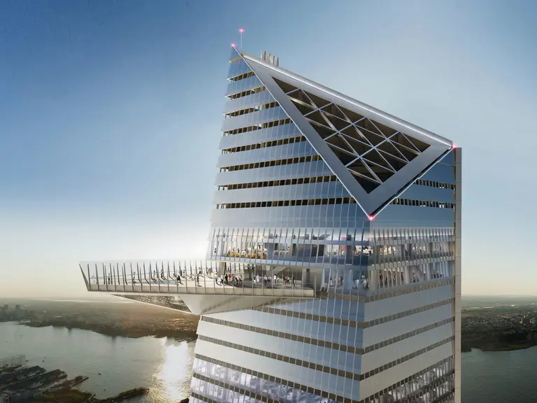
This rendering shows a 20-foot-tall proposed floodwall along the Hudson River at Huron Street in the West Village. Image: Army Corps of Engineers.

Late last year, the U.S. Army Corps of Engineers released the $52 billion proposal that will represent the most comprehensive effort to date to protect the city from storm surges and the only existing plan for protecting the entire New York Harbor area. The Army Corps recently revealed a new series of renderings that provide a visual glance at how some of these projects might transform the New York City waterfront. Renderings show barriers, gates, sea walls, and raised promenades at Flushing Bay in Queens, at Greenpoint Public Park, and Coney Island in Brooklyn, among others, as THE CITY first reported.

More renderings, this way
hudson yards, Major Developments, New Developments

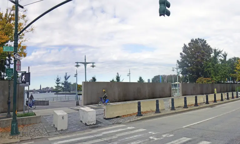
Rendering of the observation deck at 30 Hudson Yards, via Related Companies

The soon-to-open Hudson Yards, the 28-acre development that’s being called the largest private development in the U.S, is not only situated on the Hudson River, but what could pass for a small city could easily be seen as a target for terrorists with its million-square-foot retail center and dining district, the 1,296-foot-tall 30 Hudson Yards, the city’s most expensive office building (50 Hudson Yards) and thousands of pricey apartments. The Wall Street Journal reports that the $25 billion project from Related Companies and Oxford Properties Group claims to be fortress-like in its protection against the wrath of both nature and humankind.

What’s the plan, then?

SIGN UP FOR OUR NEWSLETTERS

Thank you, your sign-up request was successful!
This email address is already subscribed, thank you!
Please provide a valid email address.
Please complete the CAPTCHA.
Oops. Something went wrong. Please try again later.