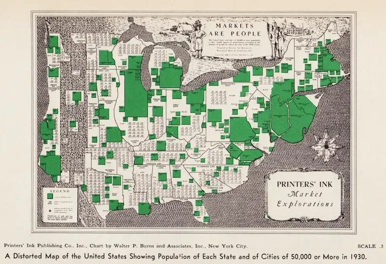
Map of U.S. with population of each state and of cities of 50,000+(Printers’ Ink Publishing Co., Inc., Chart by Walter P. Burns and Associates, Inc., New York City)
Vintage maps reflect the population distribution of Americans in 1930
Find out more

Map of U.S. with population of each state and of cities of 50,000+(Printers’ Ink Publishing Co., Inc., Chart by Walter P. Burns and Associates, Inc., New York City)