Oldest map of New York may become most expensive map ever sold at $10M

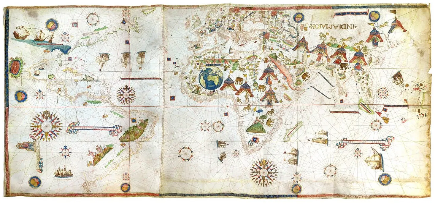
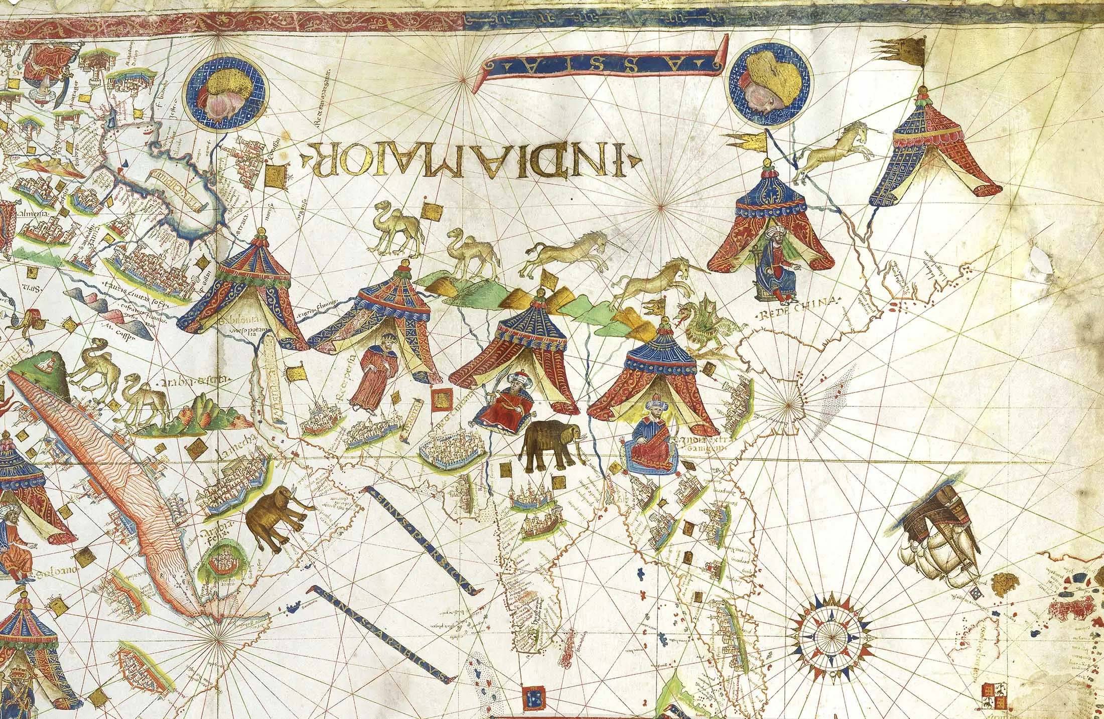
In 1531, Italian sailor and cartographer Vesconte Maggiolo created a “Portolan planisphere,” a navigational chart of the known world, that included the first depiction of the eastern seaboard and therefore of New York harbor. Bloomberg tells us that the 6.7′ x 3′ map made of six goat skins is now in the possession of rare book and map dealer Daniel Crouch, who will put it up for sale for a whopping $10 million this Saturday at TEFAF art fair. If it fetches this price, it’ll become the most expensive map ever publicly sold.
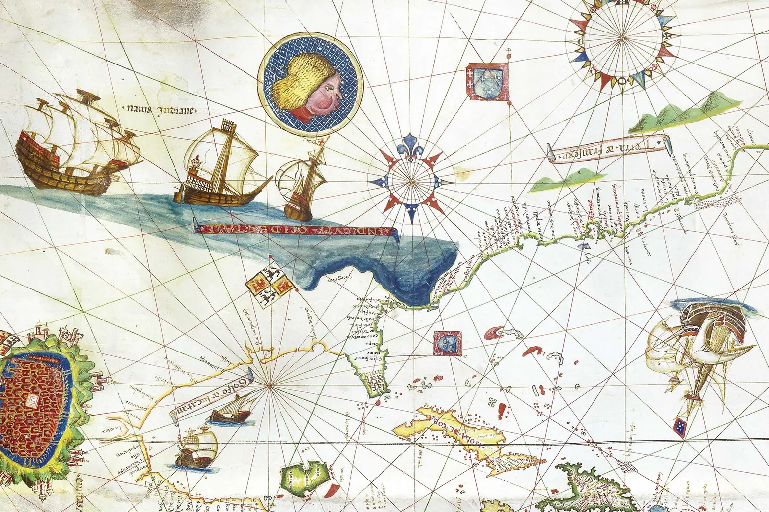
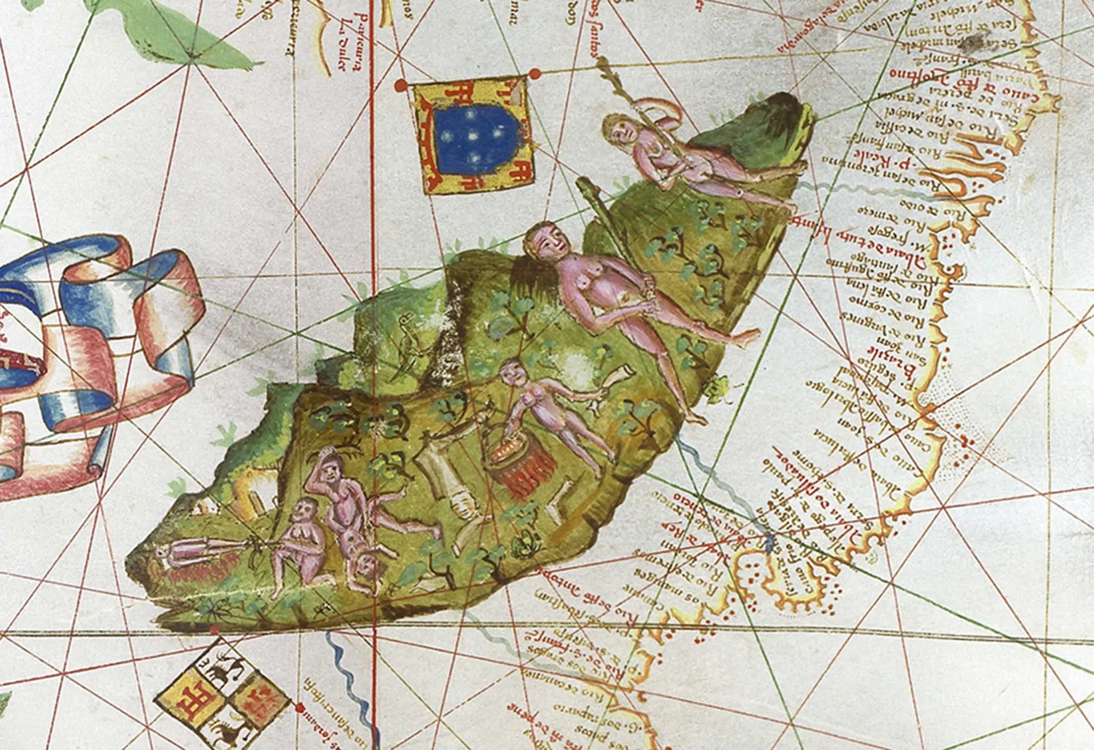
Maggiolo sailed with Giovanni da Verrazzano, and in 1527, he created a map of the explorer’s travels. It notably included the nonexistent “Sea of Verrazano” jutting inland around the Carolinas and incorrectly identifying North Carolina’s Pamlico Sound as the Pacific Ocean. The original copy of this map was destroyed during WWII, and only two other of his originals exist, one of which is this 1531 map that is one of the first of Ferdinand Magellan’s voyage. It also features the mythical Sea of Verrazano and shows just a short walk from New York Harbor “an oriental gentleman in a turban, waving from the back of a ship.”

Crouch first saw the map just 12 weeks ago, when both he and the Library of Congress tried to buy it from an English collector who had acquired it in 1983 from an aristocratic Swiss family. Crouch had the higher bid, and he’s now hoping to set a record with its price tag. Though the 1507 Waldseemüller map (the first to name the American continent) sold to the Library of Congress for $10 million in 2003, it was not a public sale. Plus, Crouch adds, his piece is “certainly a lot more beautiful than the Waldseemüller map,” noting its custom-made aluminum frame and vibrant ink colors, including liquid gold and silver, that have been well preserved thanks to nearly five centuries rolled up.
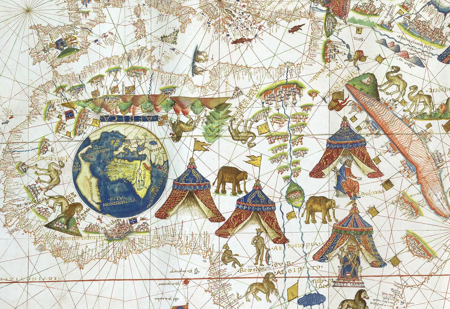
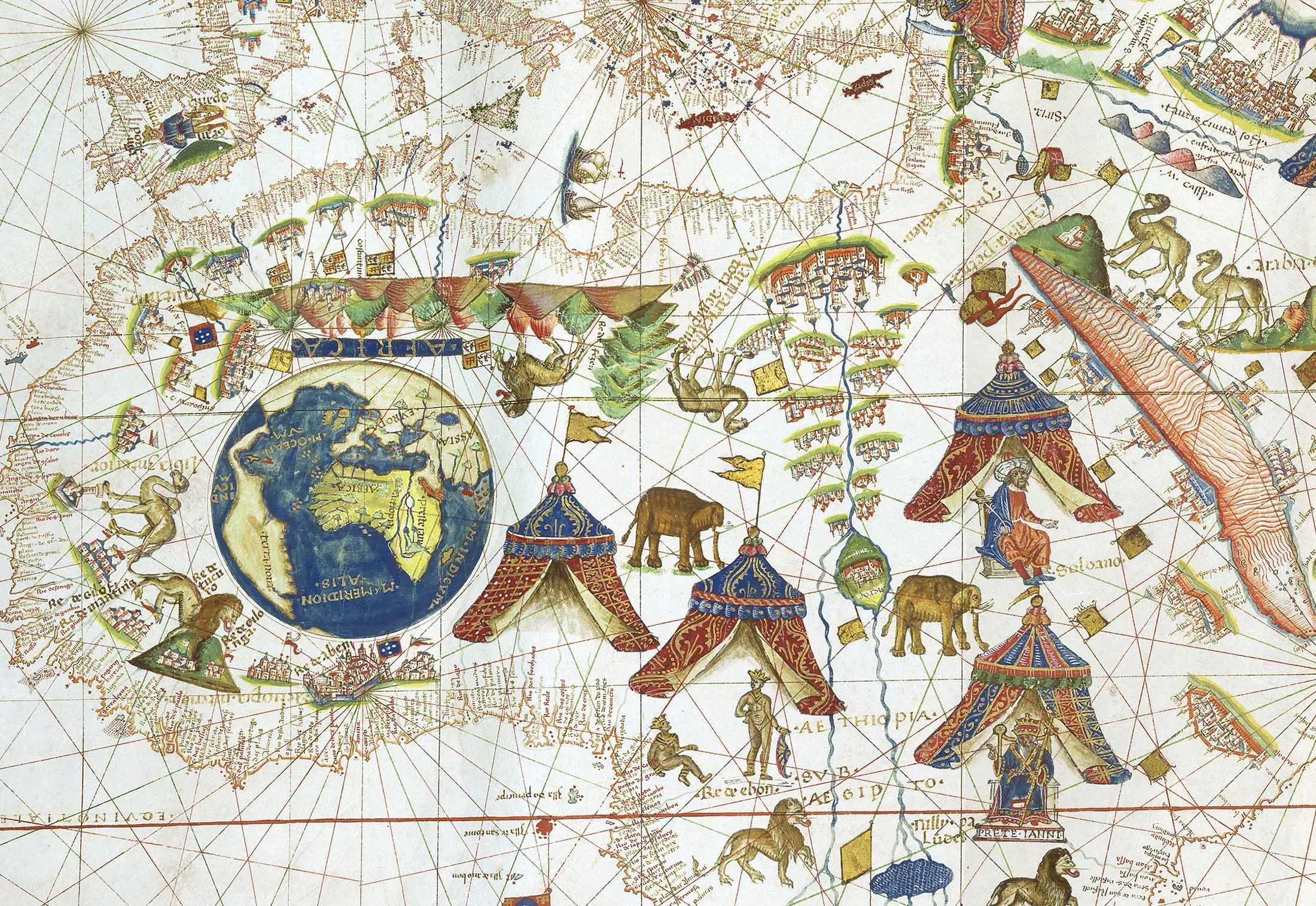
Africa, depicted as being ruled by four mythical kings
As Bloomberg describes:
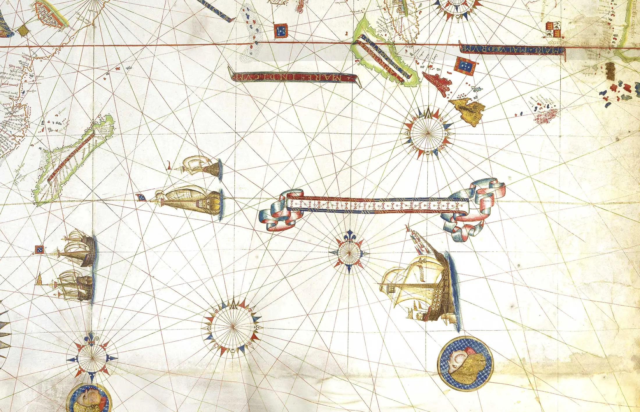
Writing on the map is positioned in two directions, which indicates that it was meant to be set on a table and viewed on both sides. It’s decorated with elephants, dragons, unicorns, castles, schooners, and some of the reigning kings of Europe.
Crouch told the publication that, though the market for a seven-figure map is quite small, he does have several buyers in mind, adding, “in terms of [the] general art world, this is actually inexpensive. It’s very upsetting to discover that a Jeff Koons sells for multiples of this.”
[Via Bloomberg]
RELATED:
- Explore Manhattan When It Was Just Forests and Creeks With the 1609 Welikia Map
- Keep Track of Your World Travels With This Colorful Scratch-off Map
- This 1927 city subway map shows early transit plans
All images courtesy of Daniel Crouch Rare Books