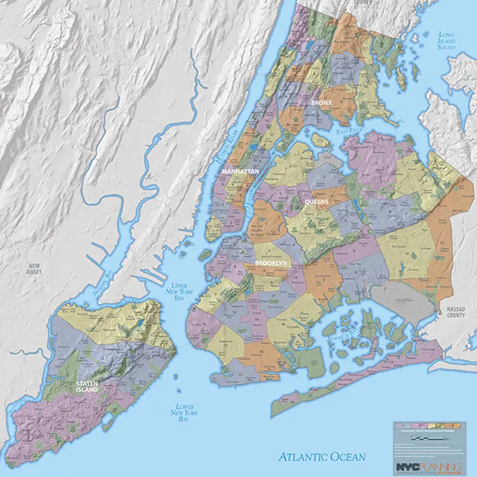
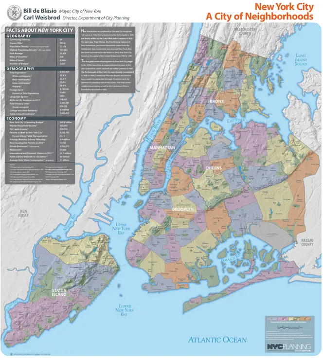
NYC Gets a New Neighborhood Map from the City Planning Department

Every few years the New York City Department of City Planning releases a new map to document changes in demographics, geographic profiles and neighborhood boundaries. The maps have been produced since 1994, and following its 2010 update, the City has just released a 2014 version. In addition to offering some insight into the current socio-economic makeup of our city, this brand new release is also topographically correct, drawn up to reflect everything from hills to rivers and reservoirs. Some new notable neighborhood additions include Allerton, Kingsbridge Heights, Erasmus and Fox Hills; while Fresh Kills Landfill and Downtown Flushing have been rechristened “Freshkills Park” and simply “Flushing”, respectively.
You can explore the new map digitally here or see a PDF version here.